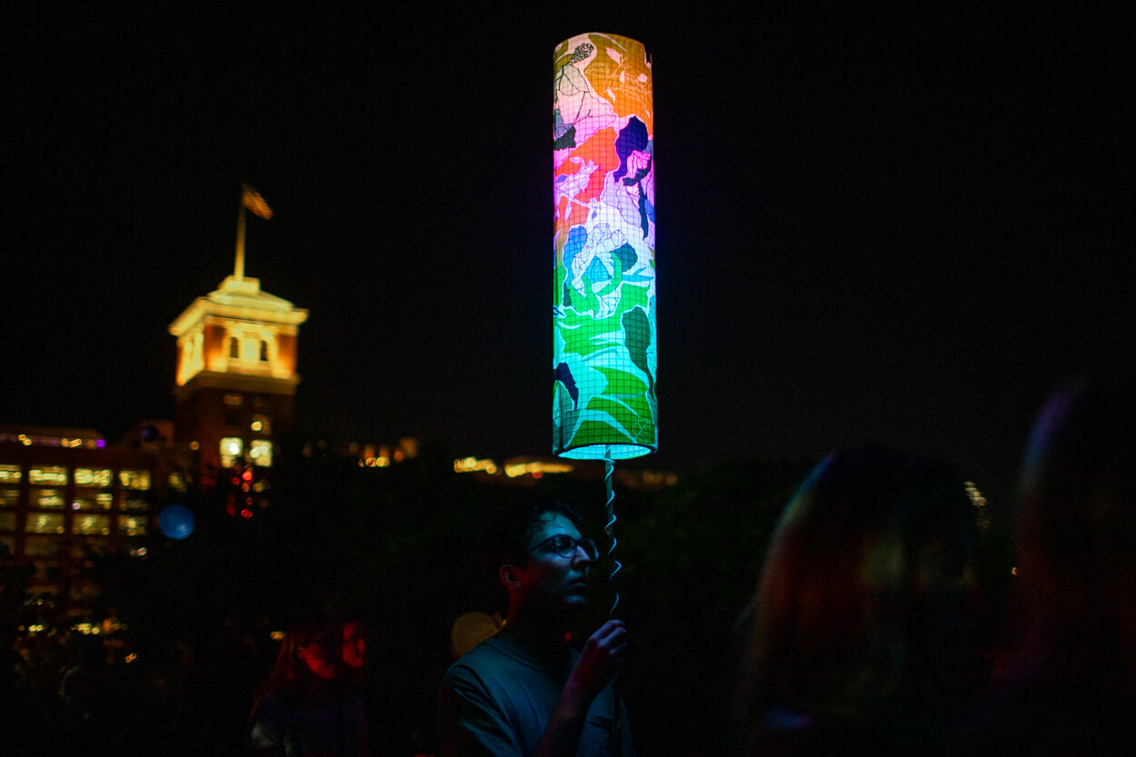
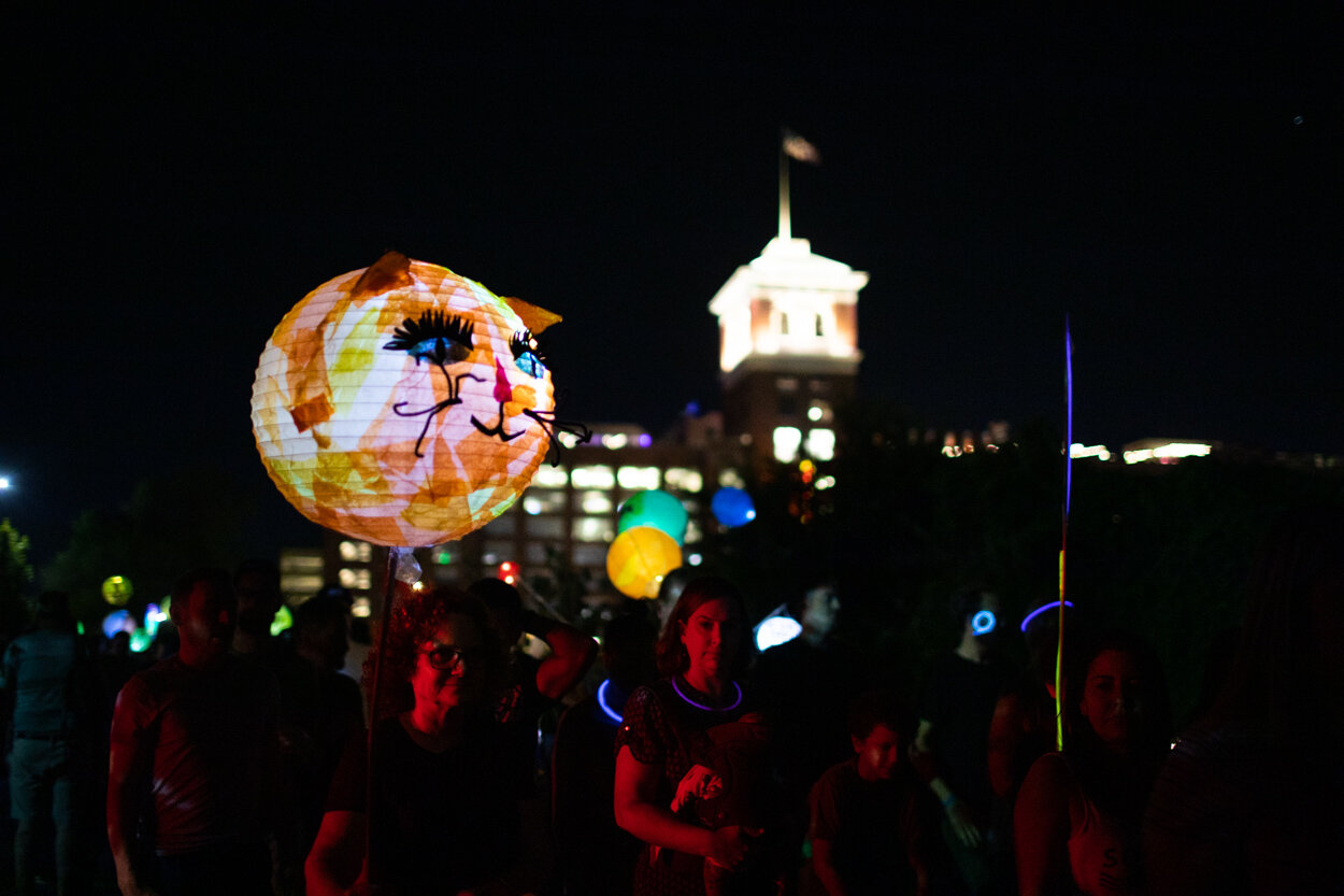
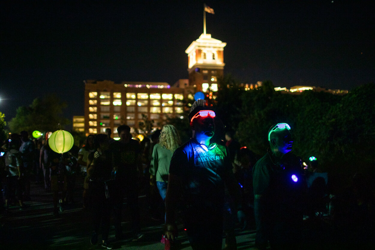
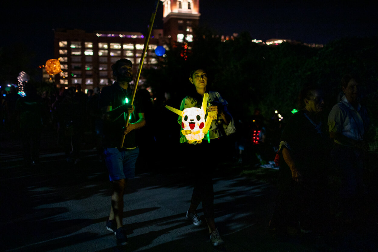
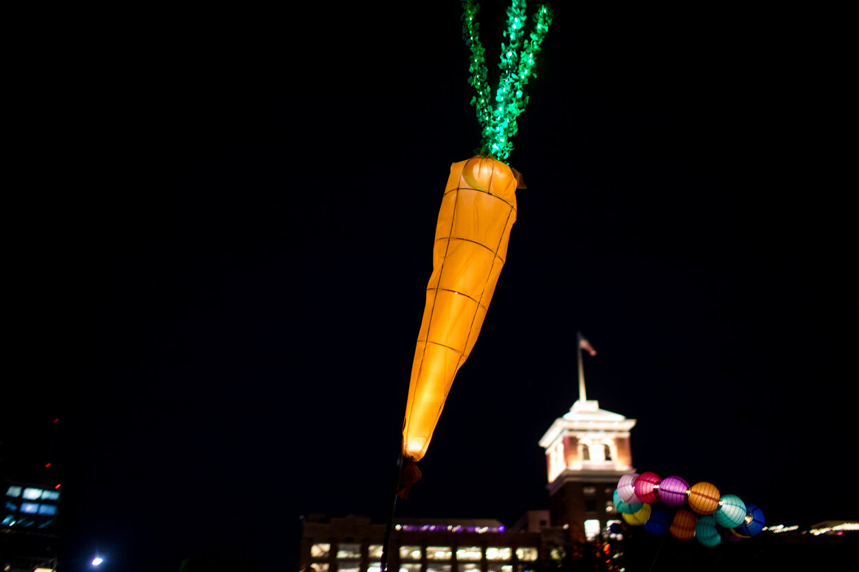
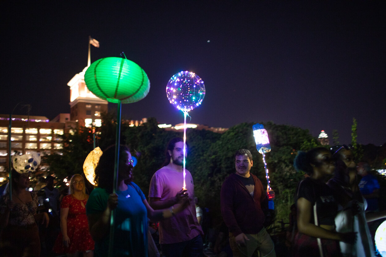
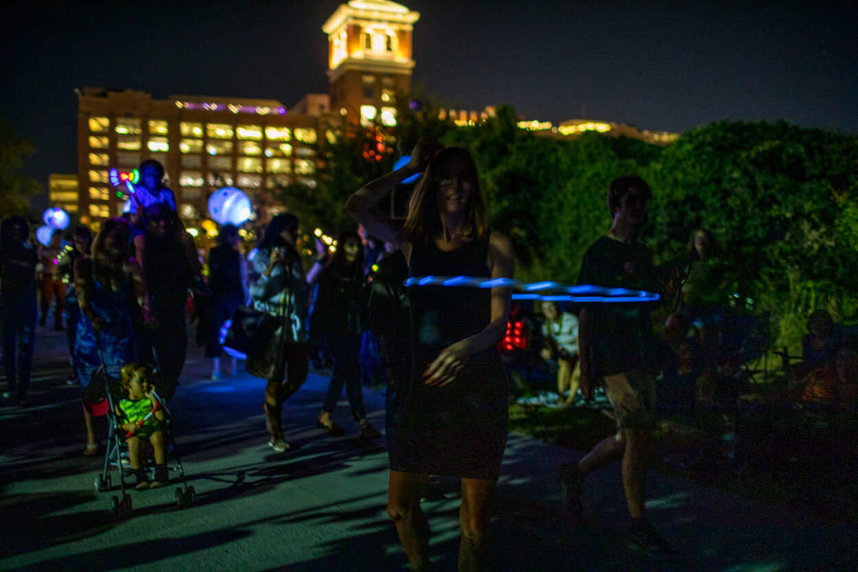
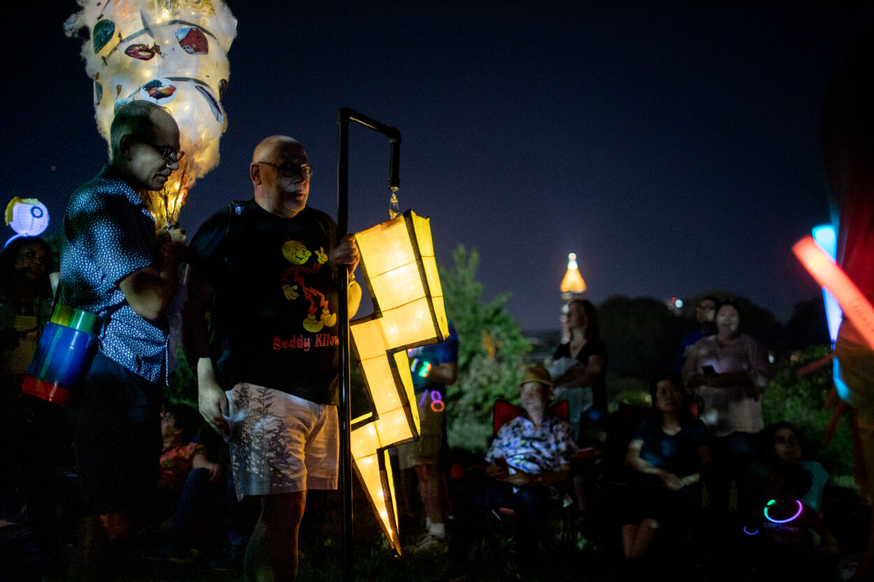
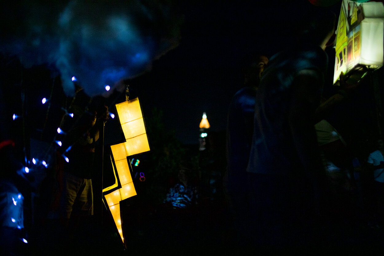
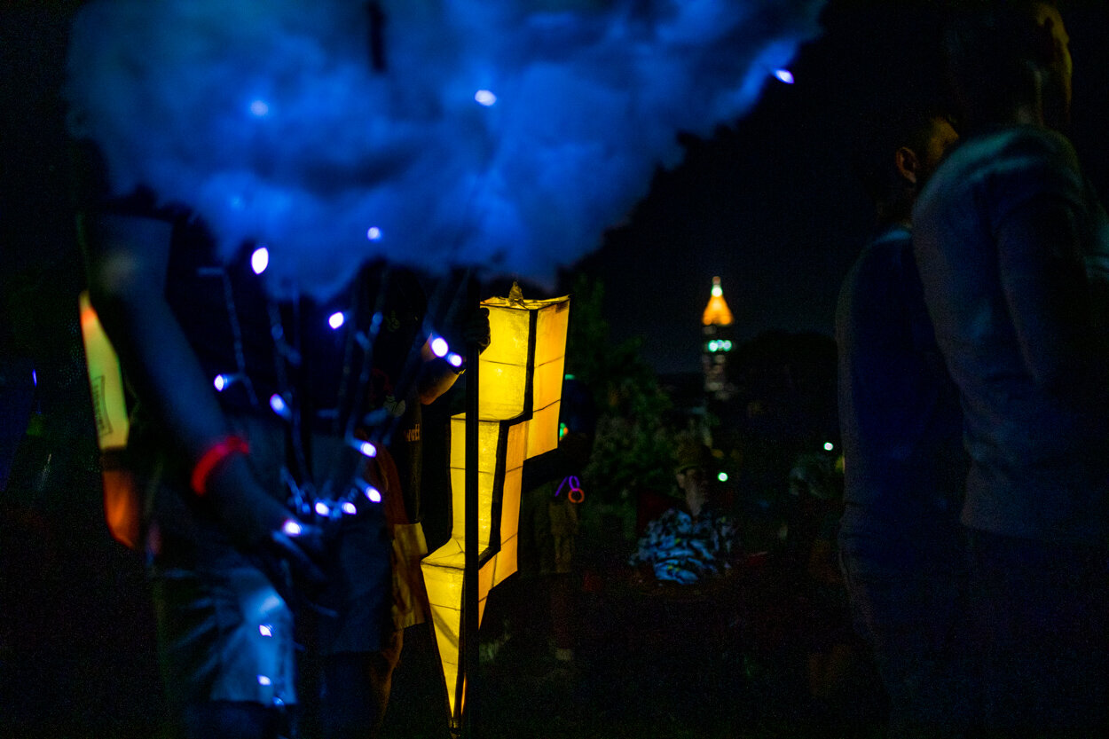
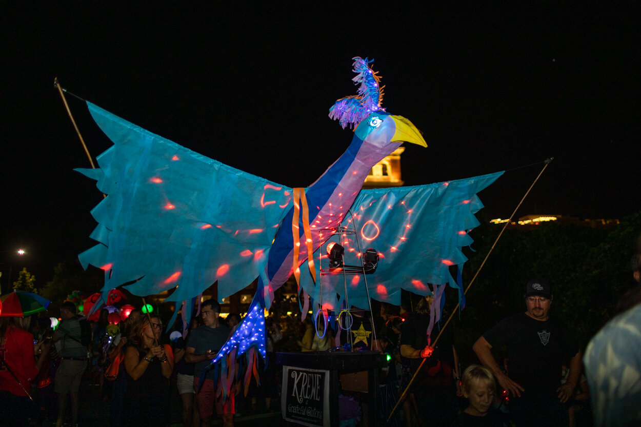
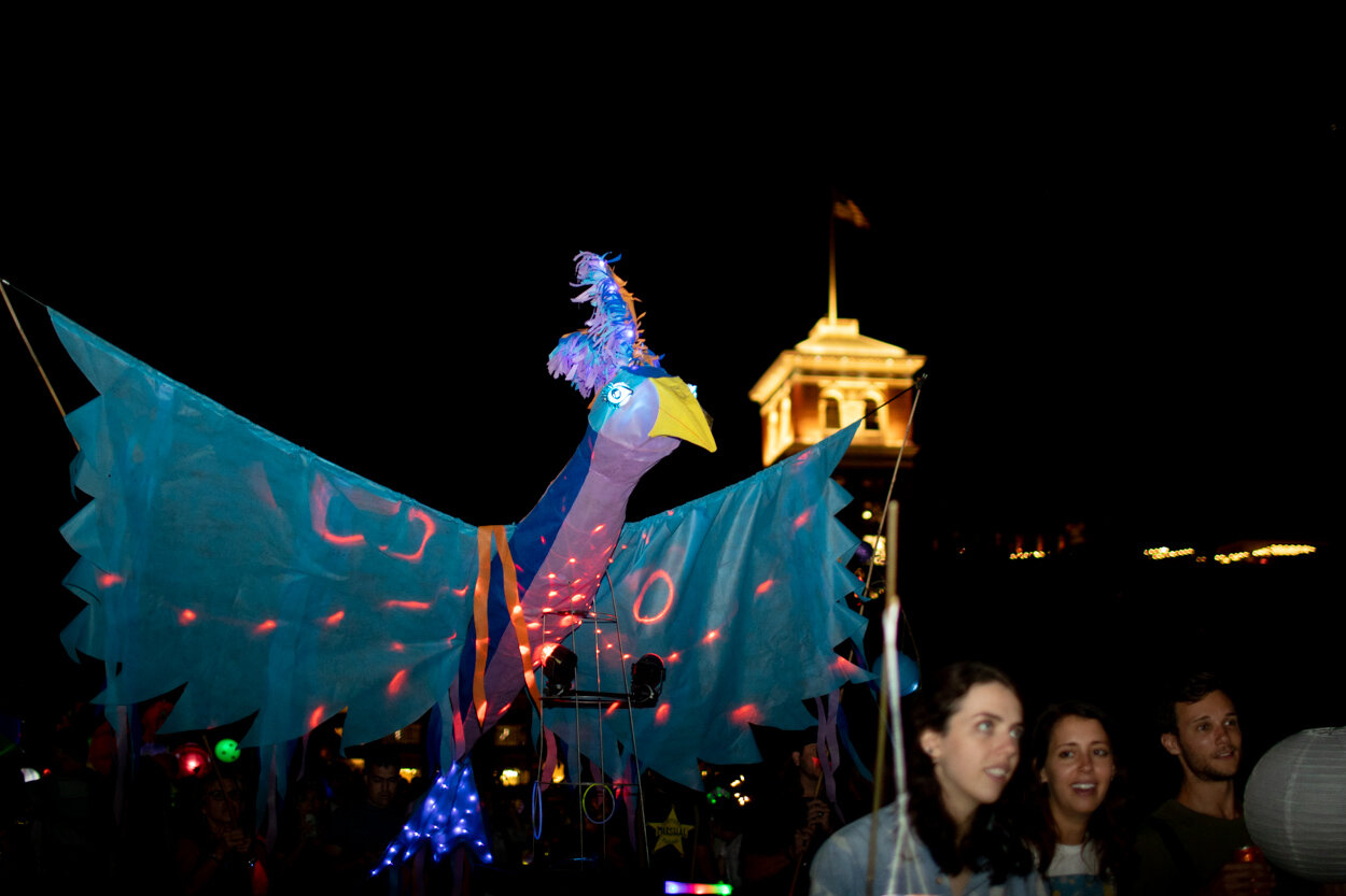
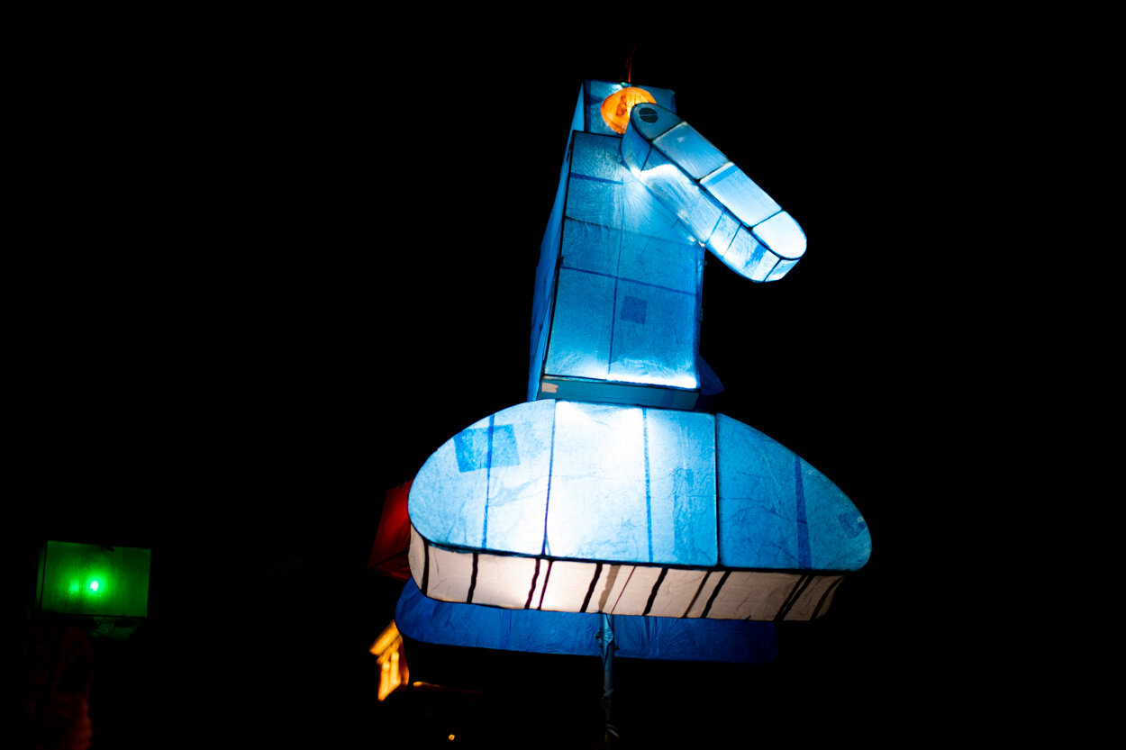
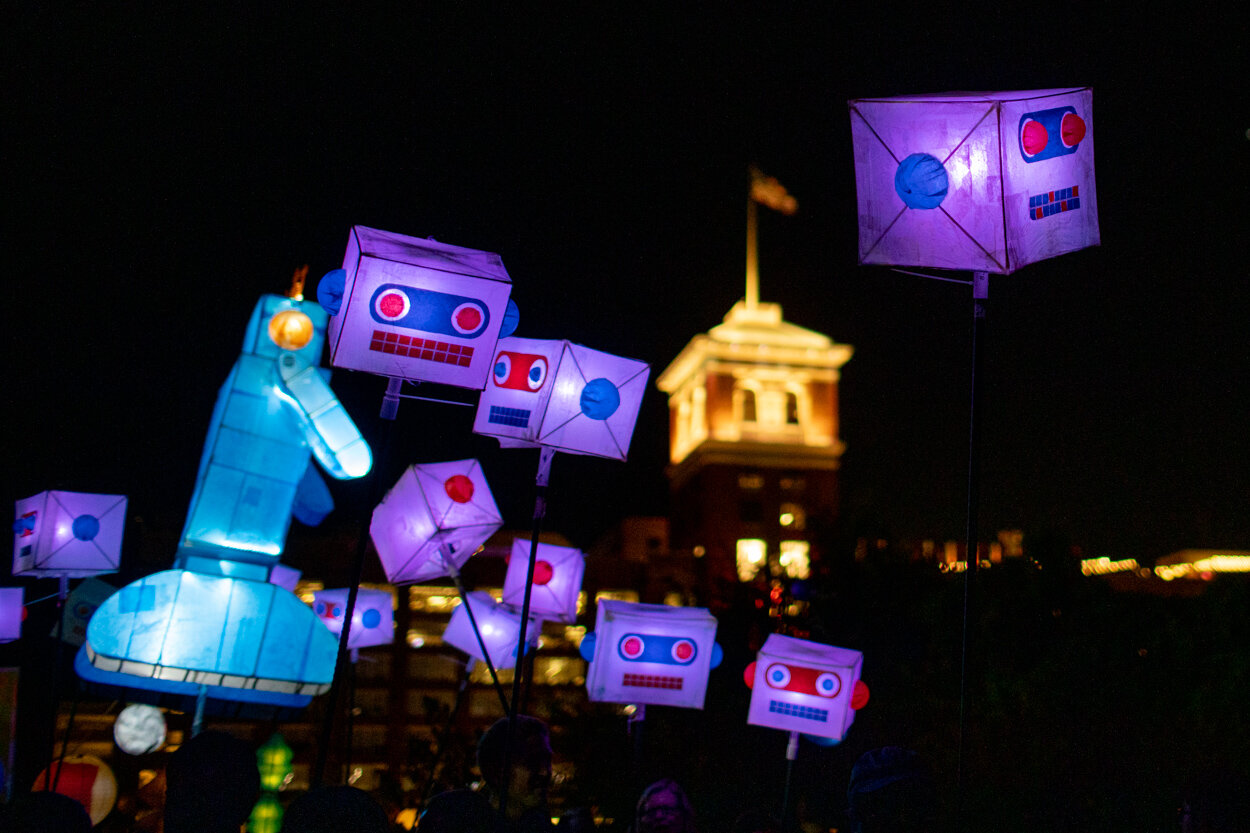
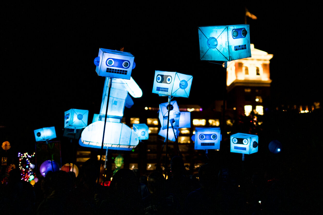
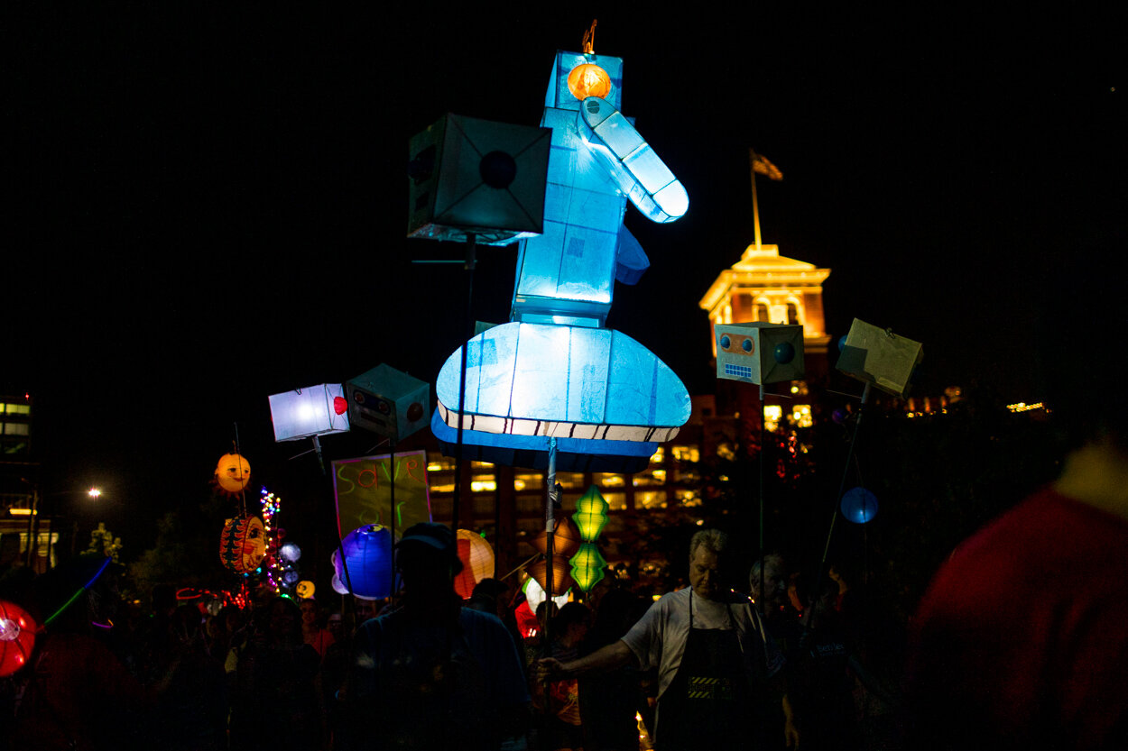
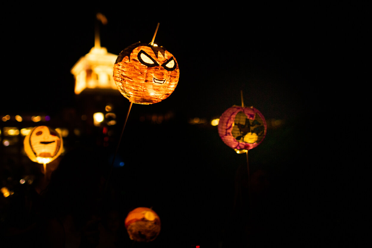
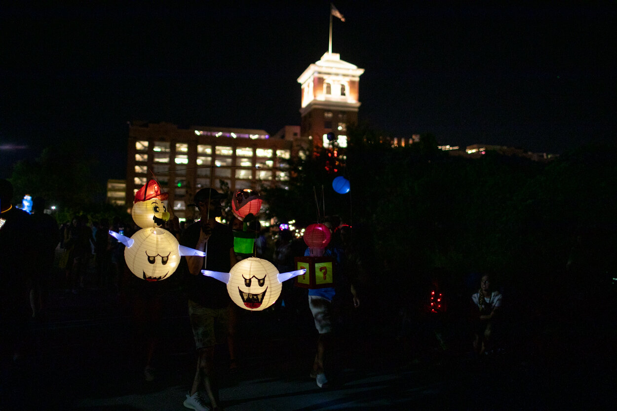
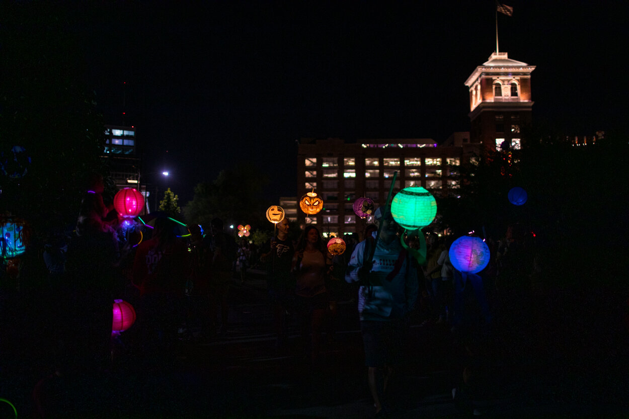
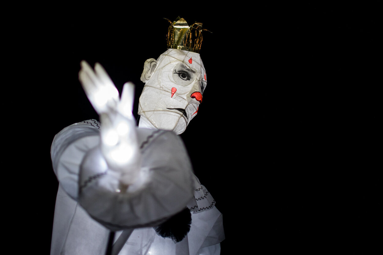
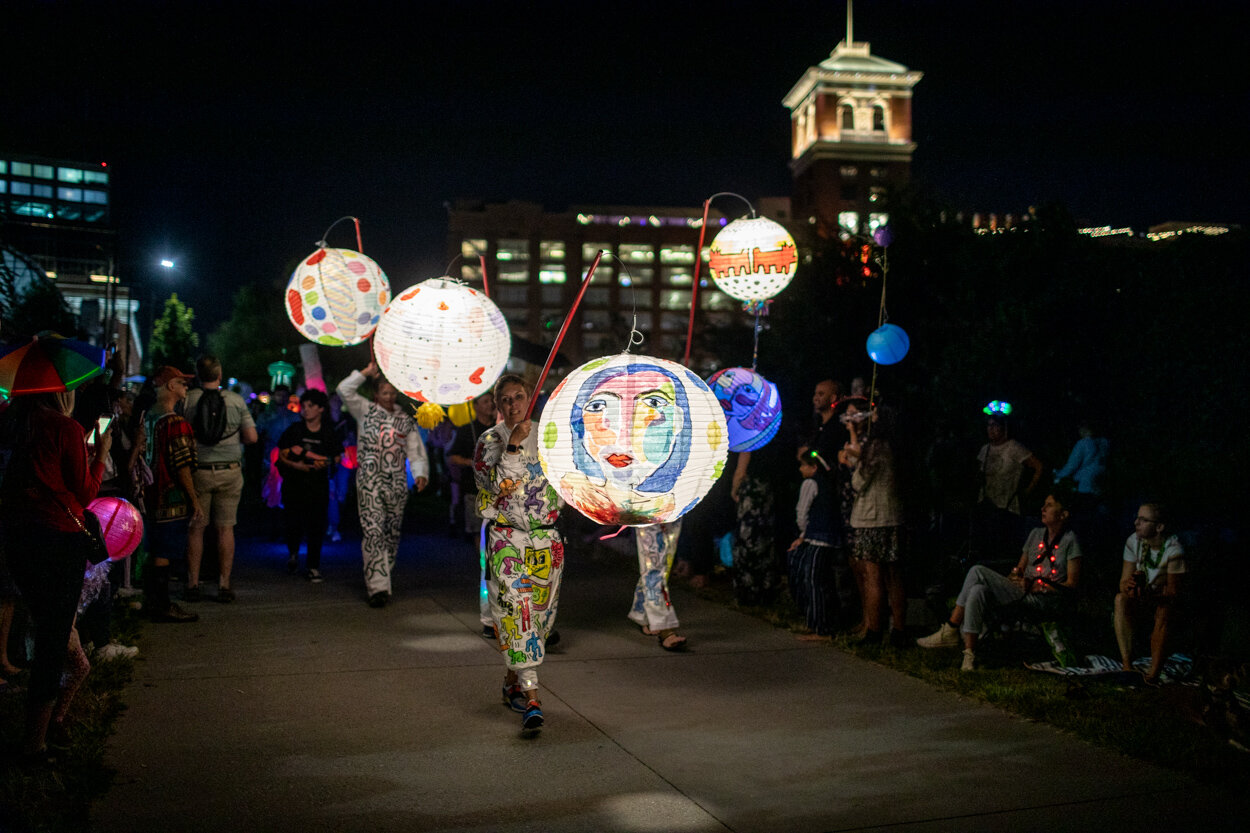
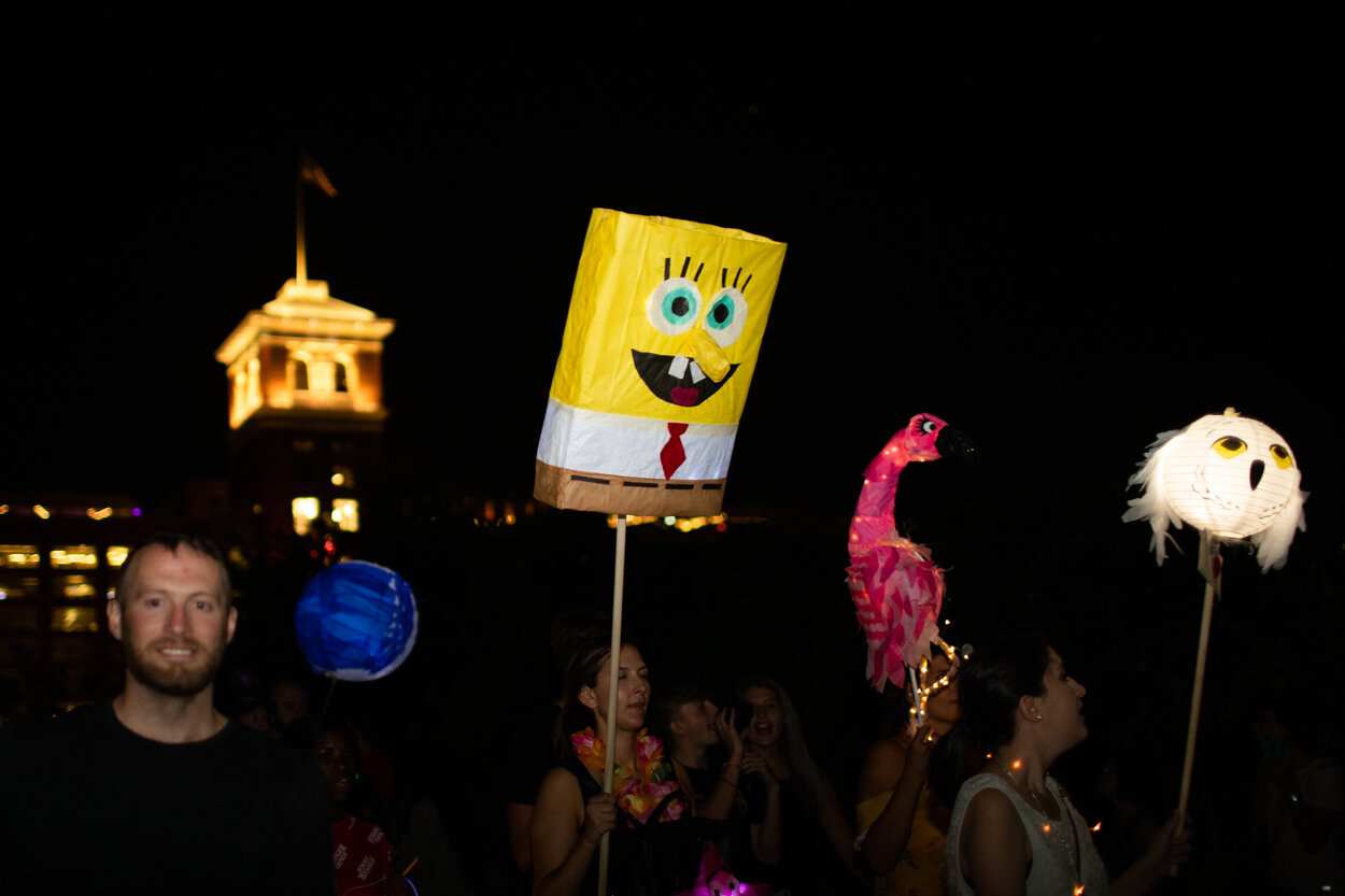
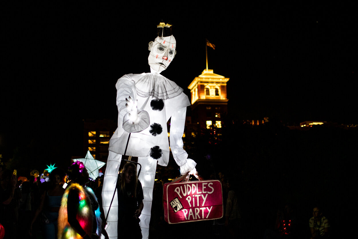
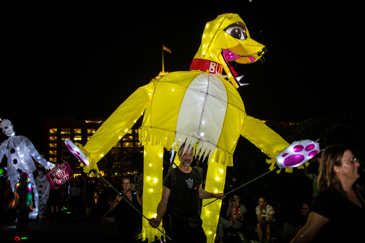
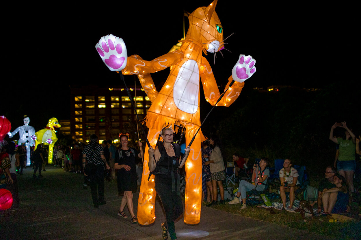
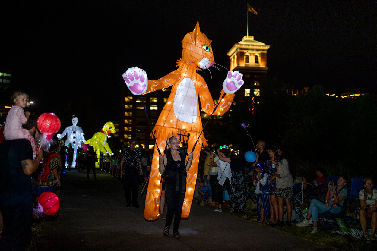
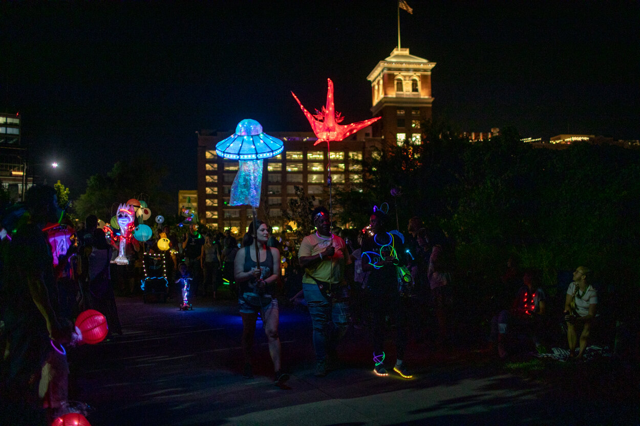
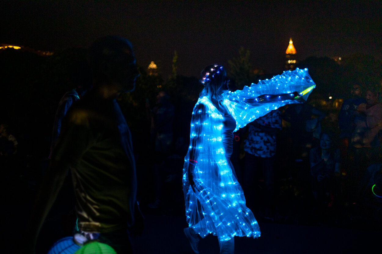
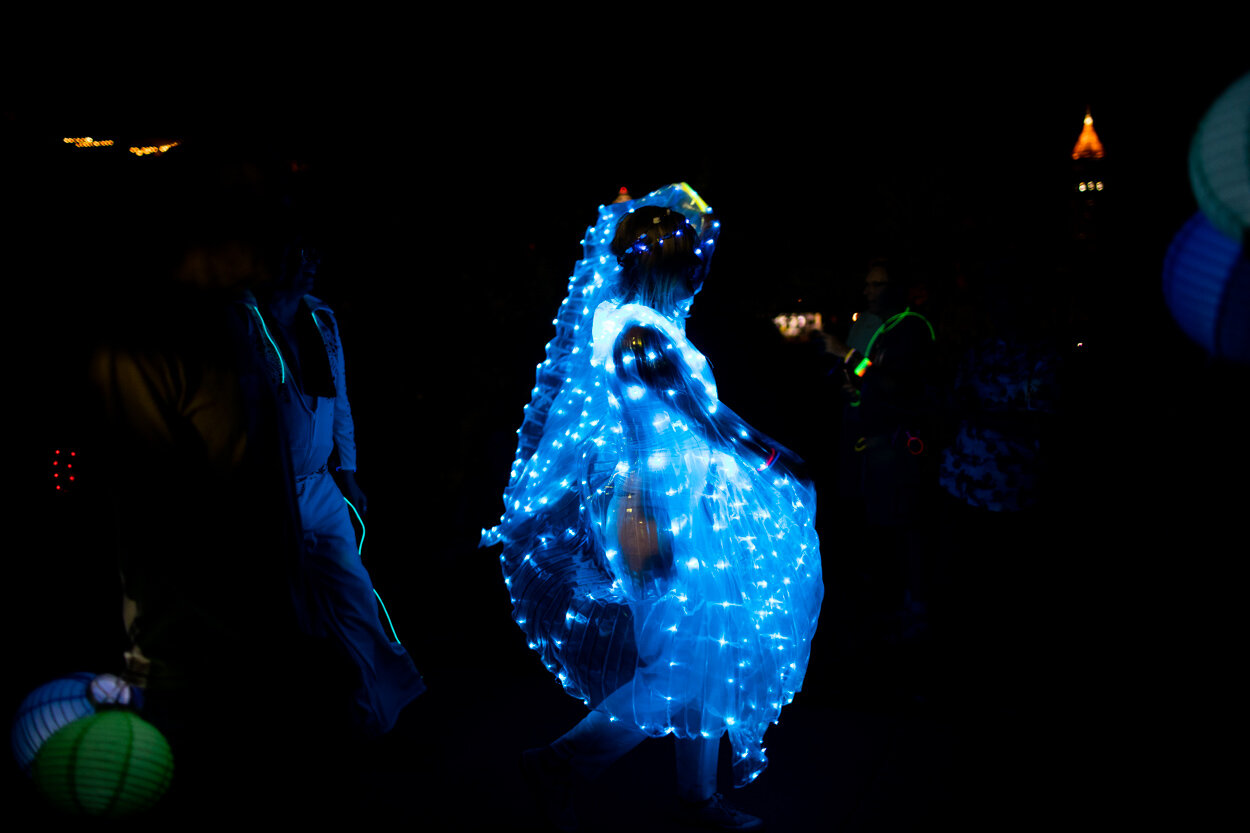
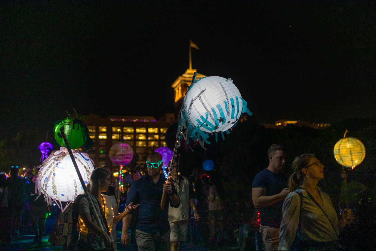
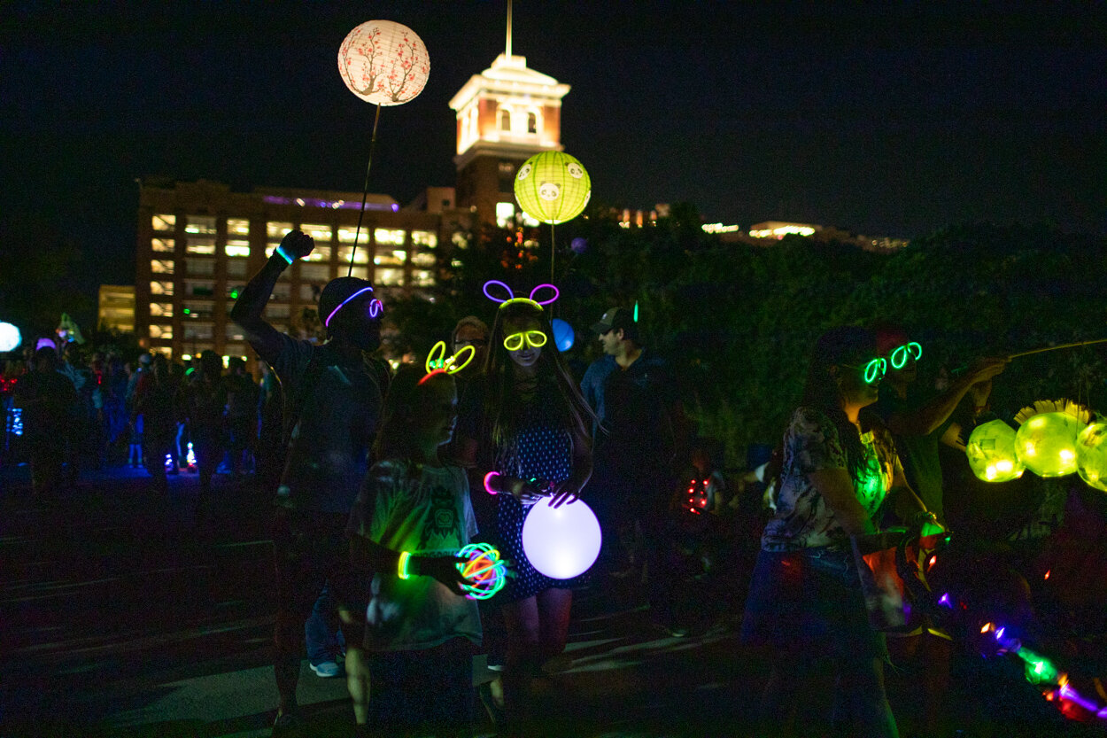
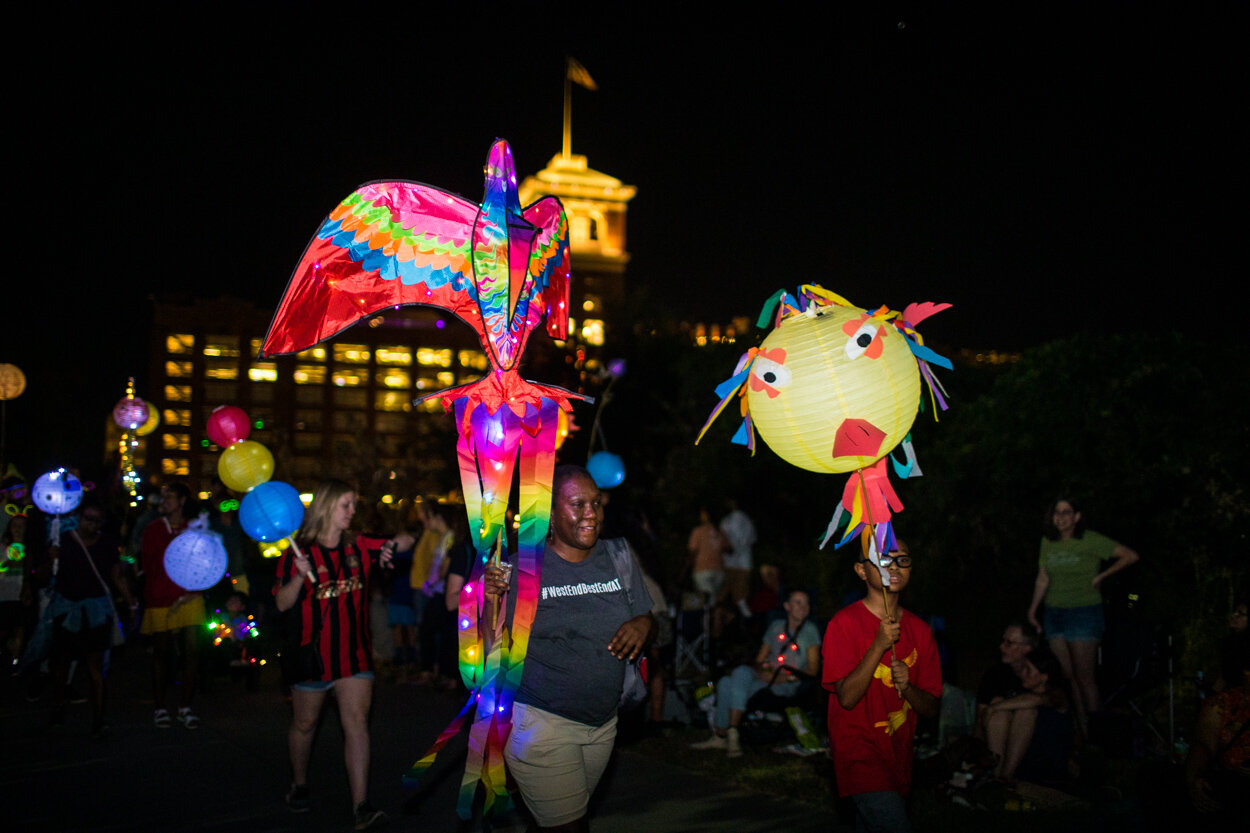
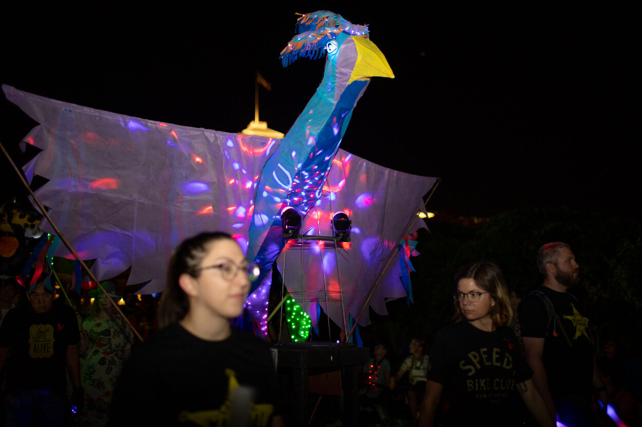
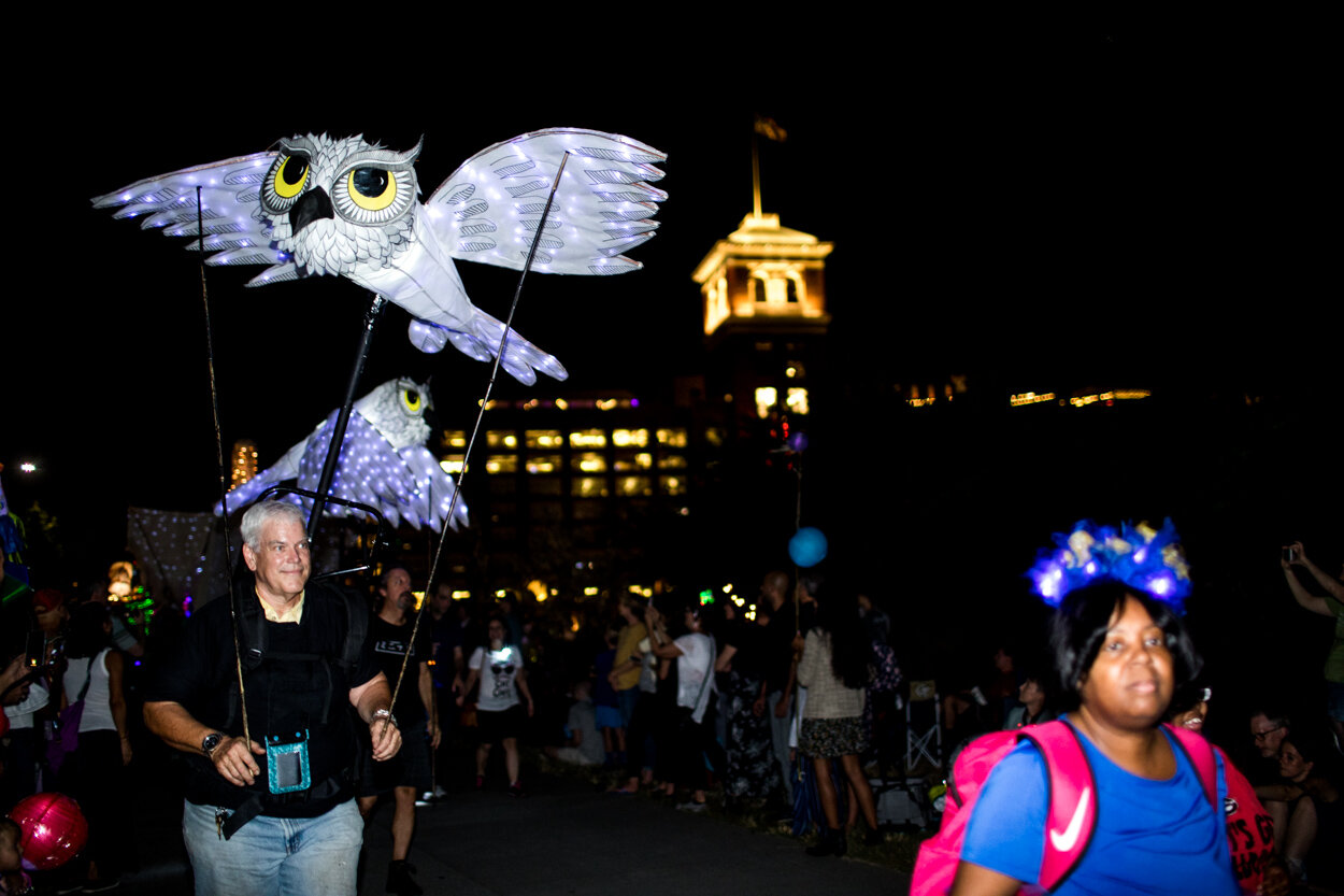
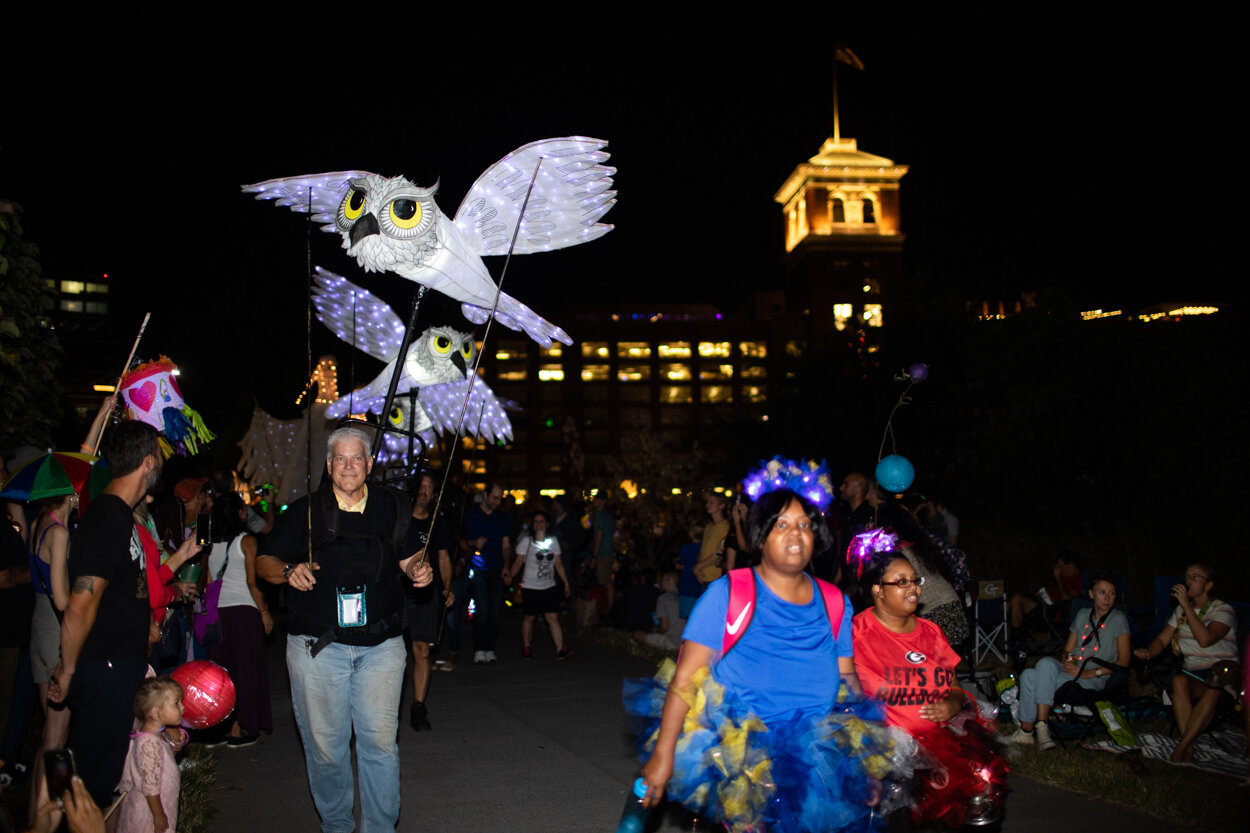
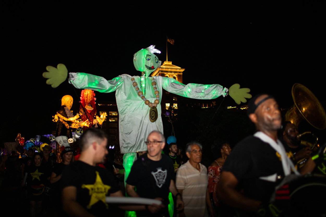
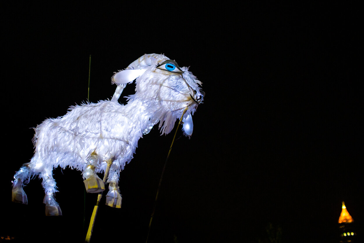
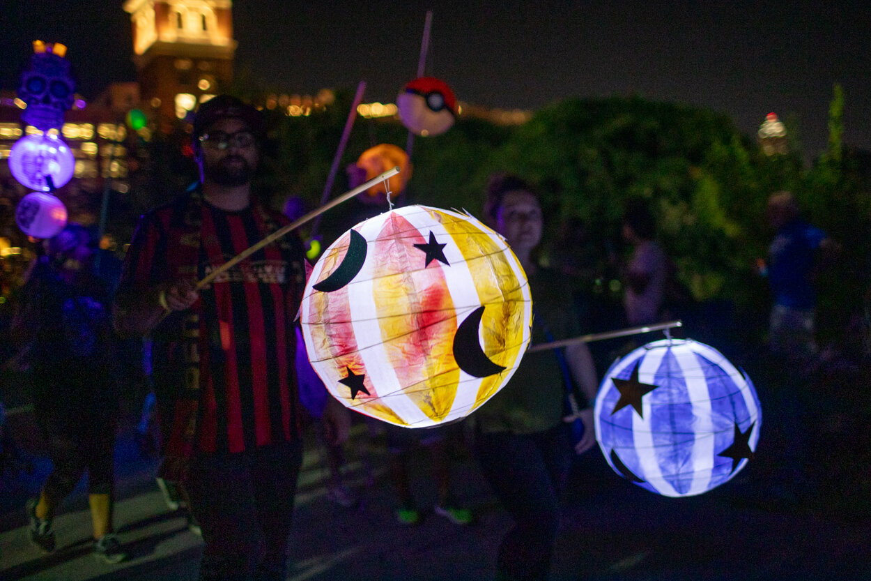
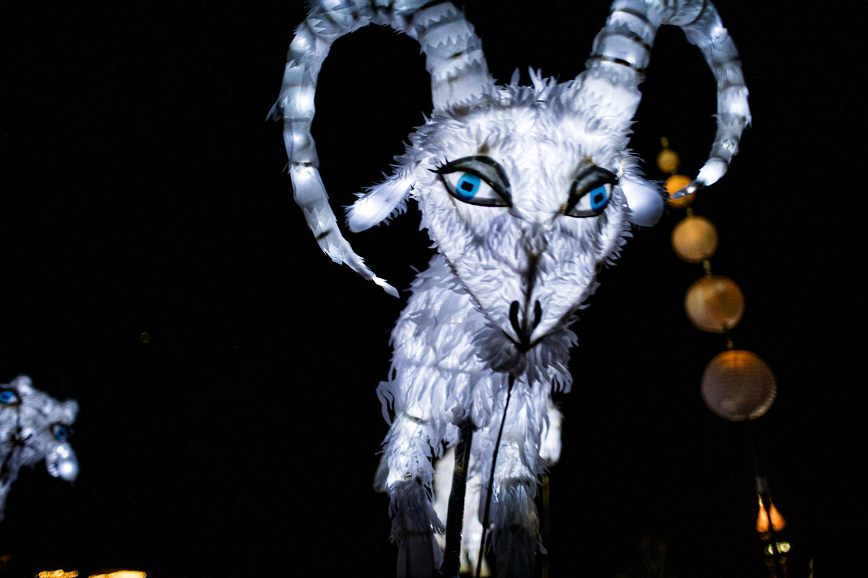
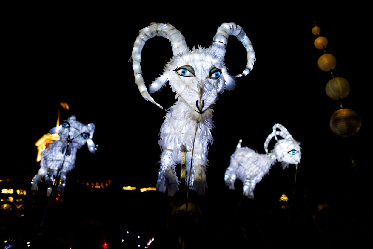
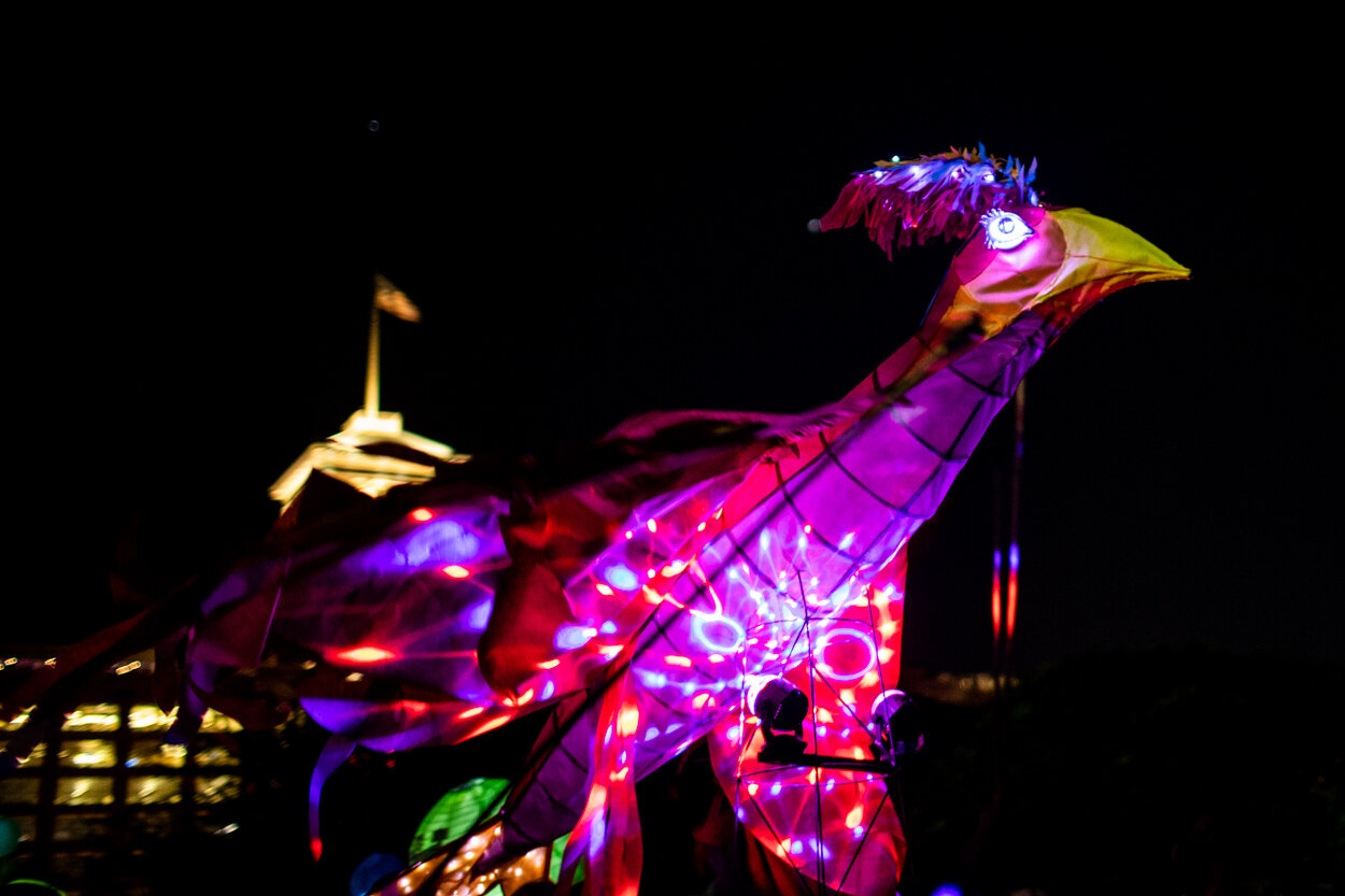
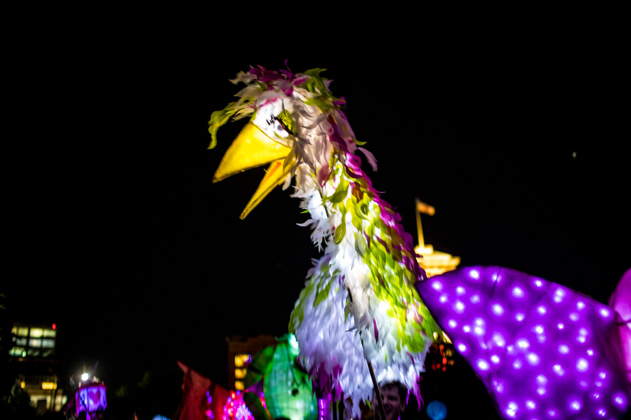
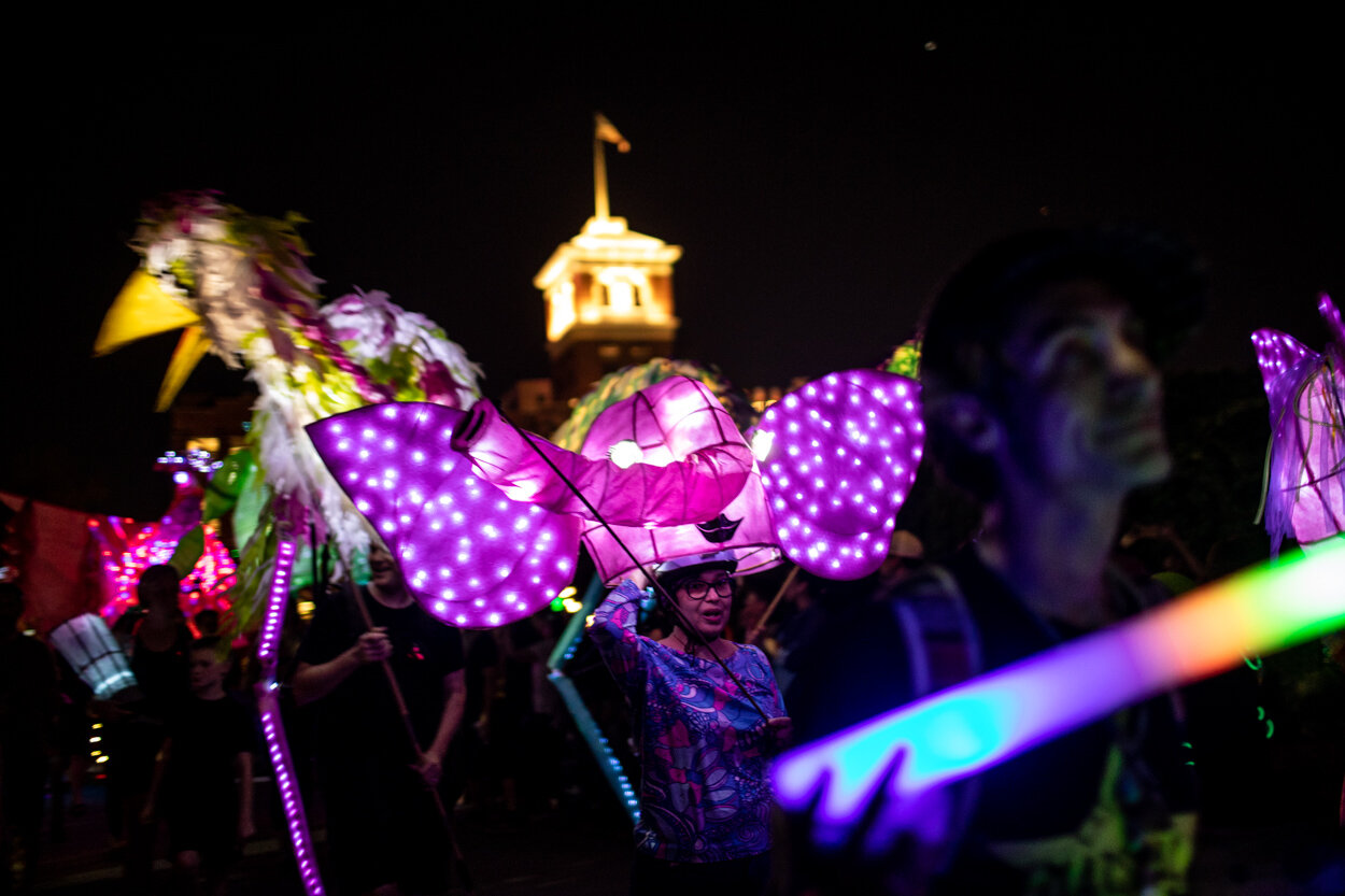
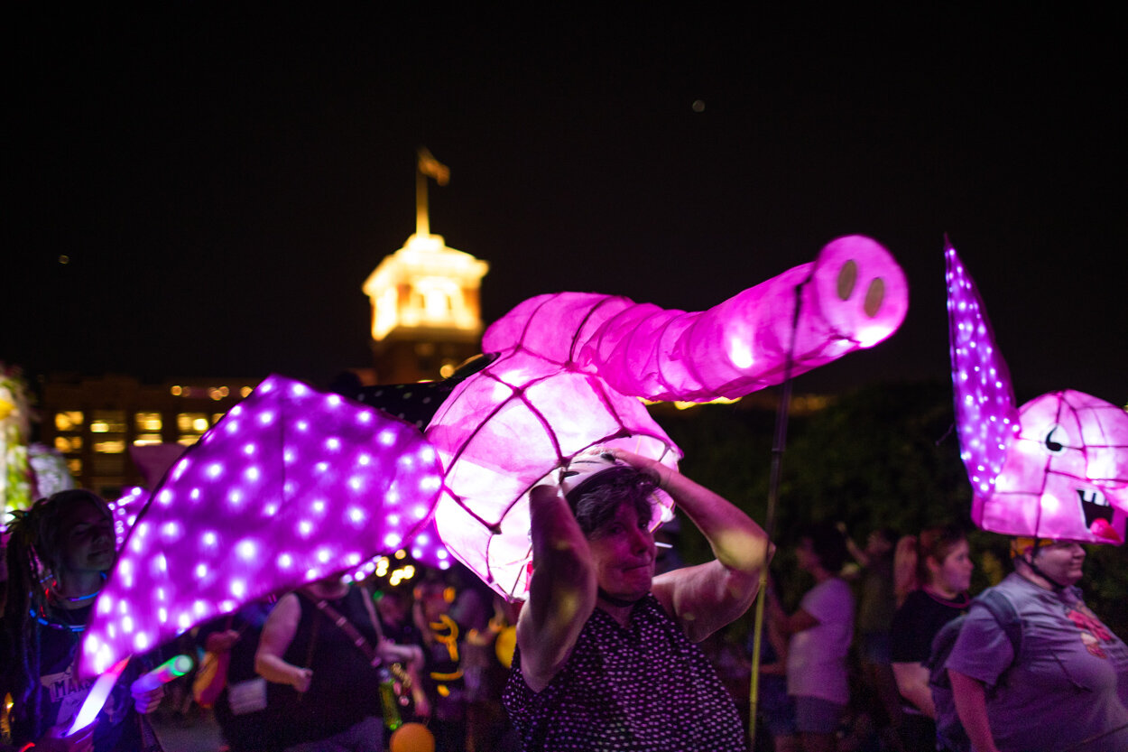
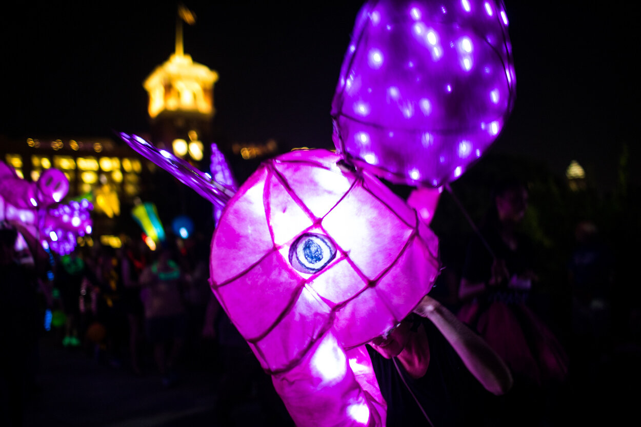
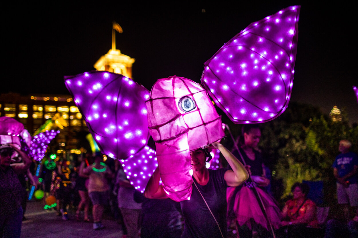
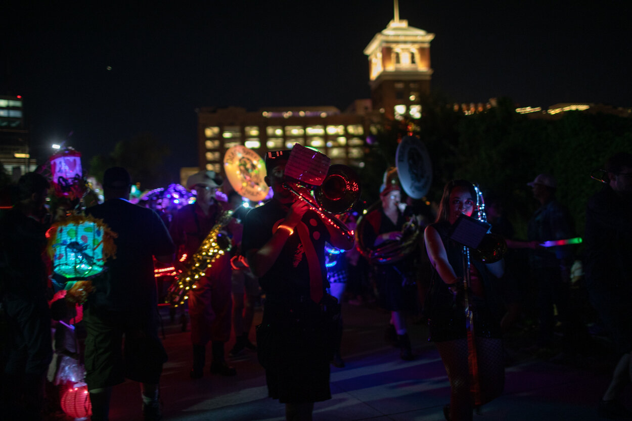
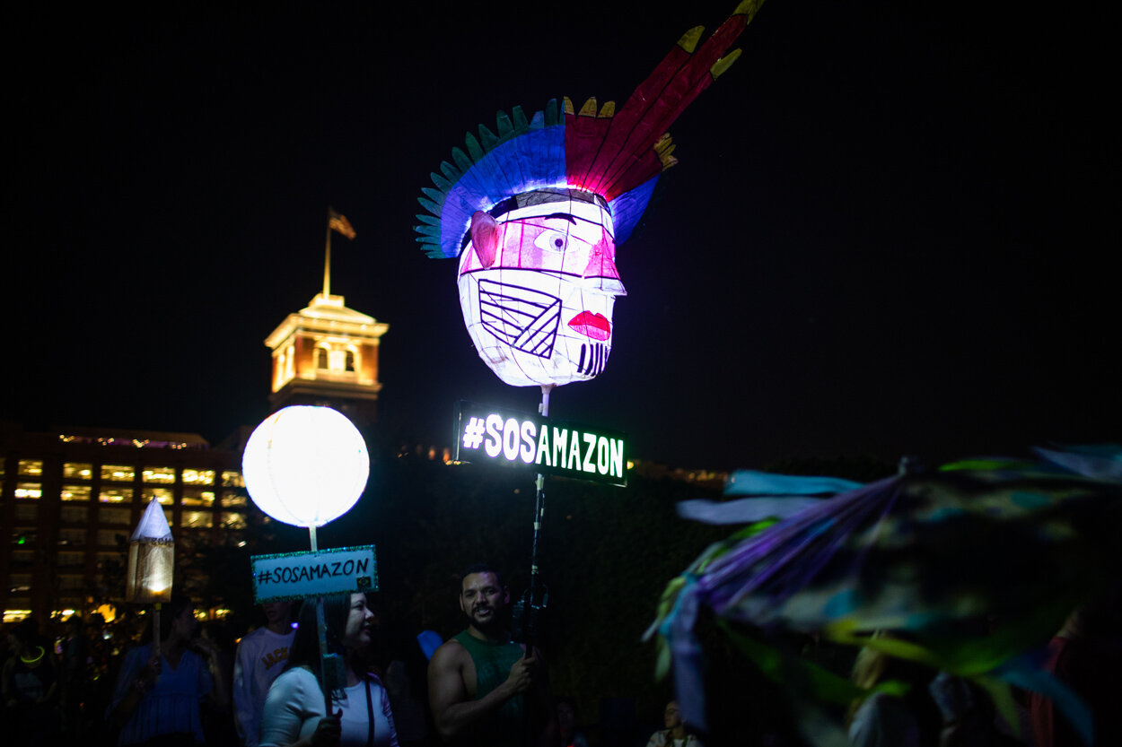
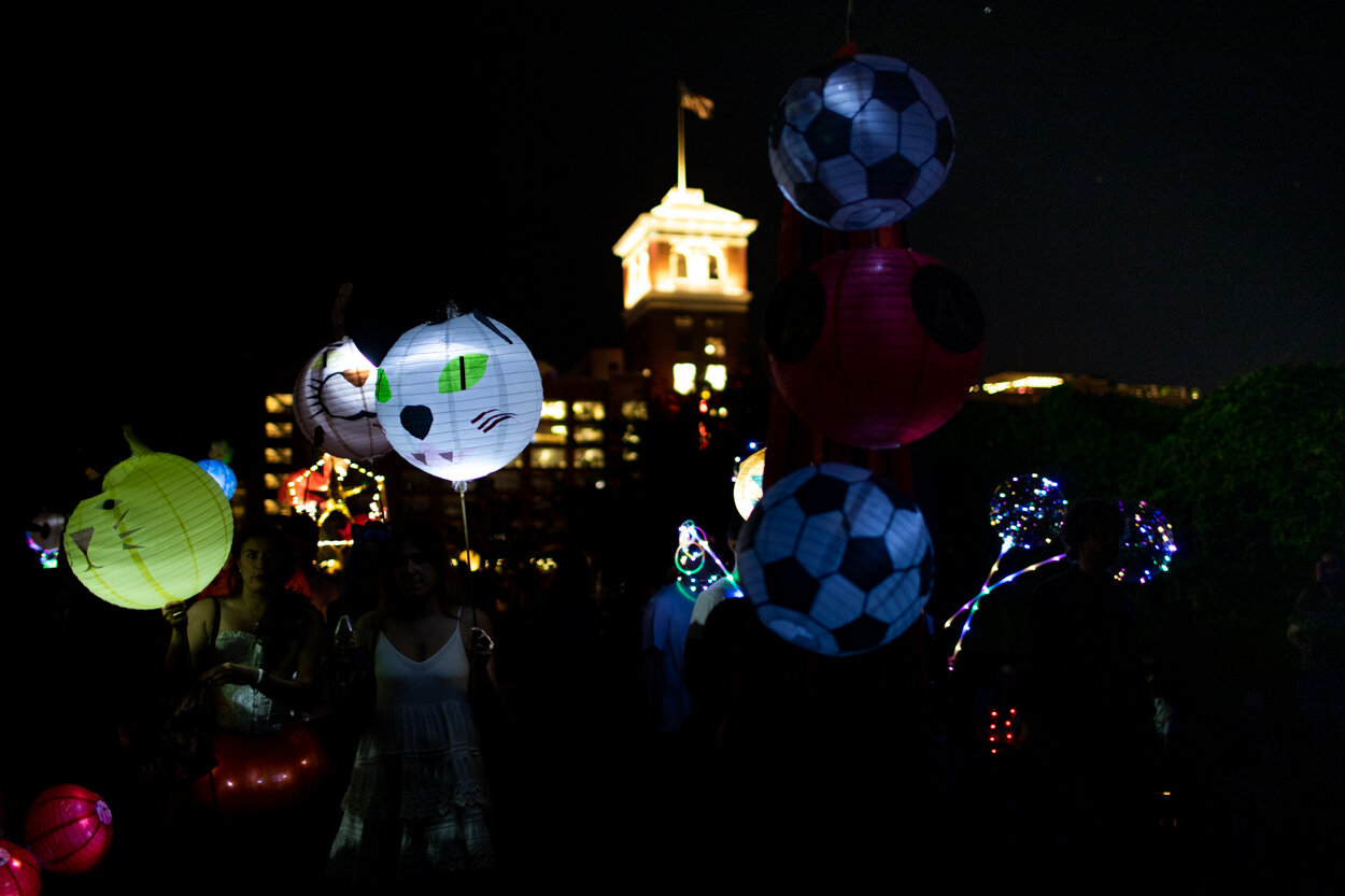
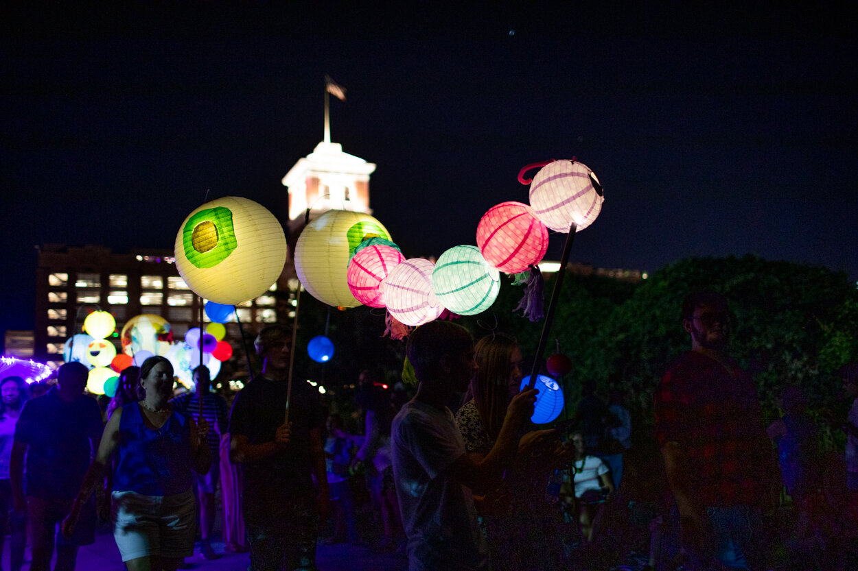
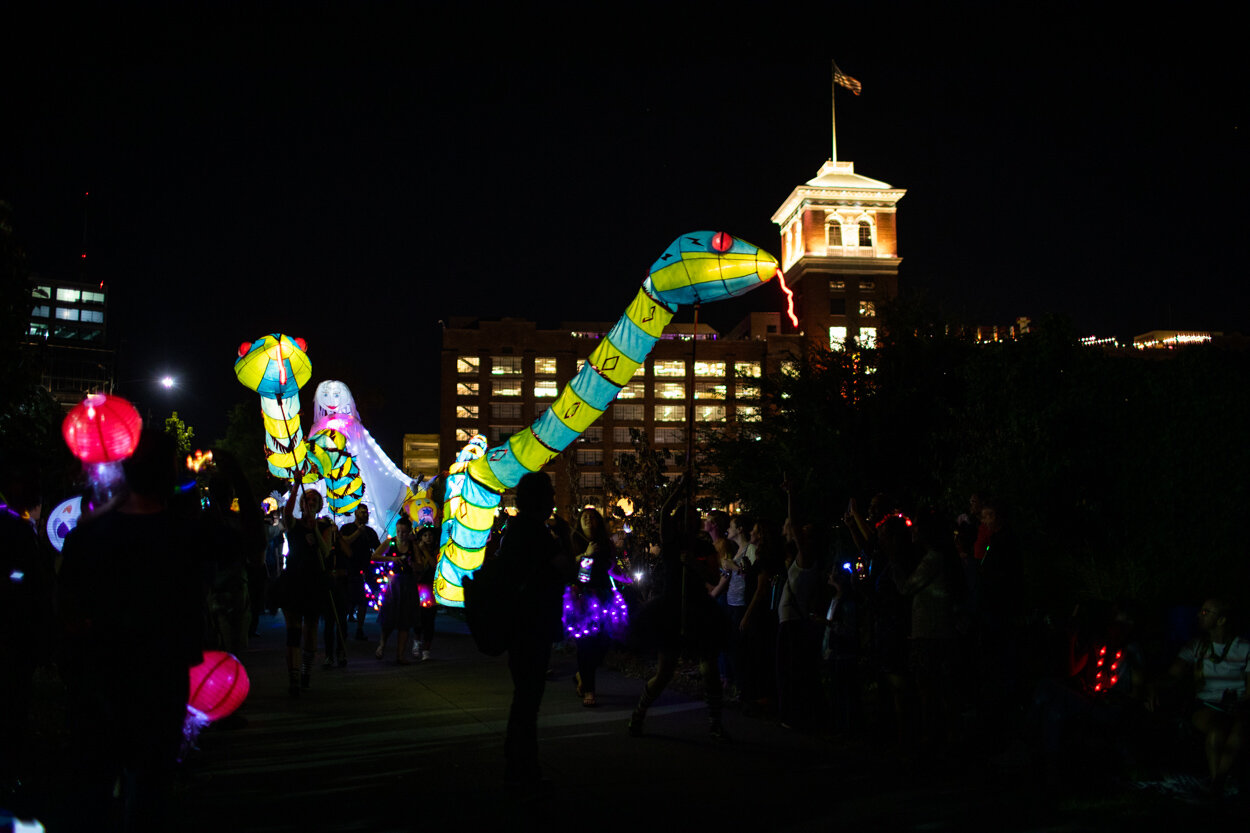
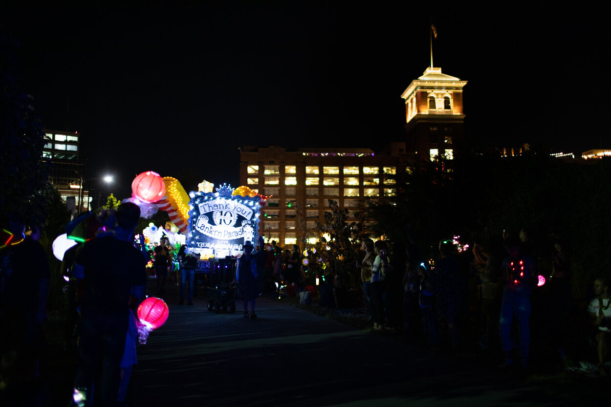
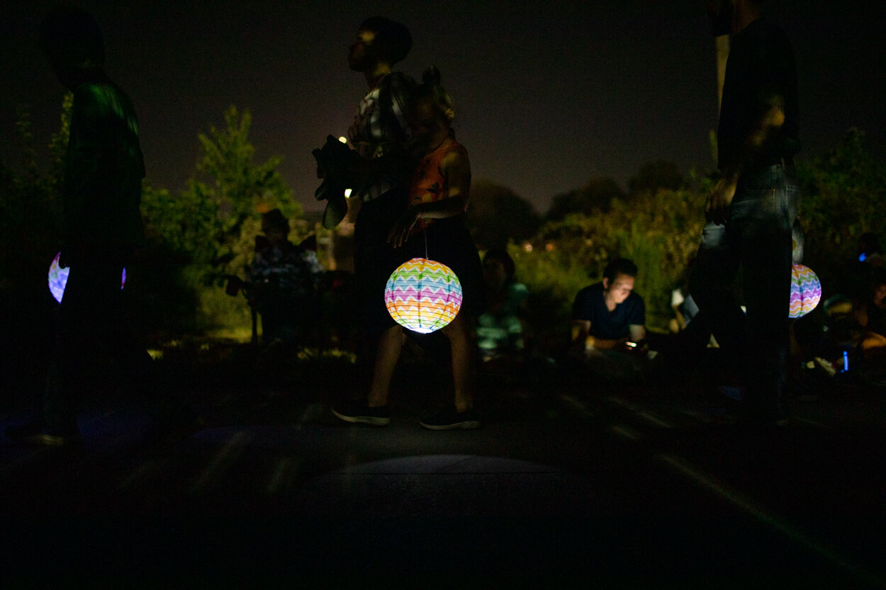
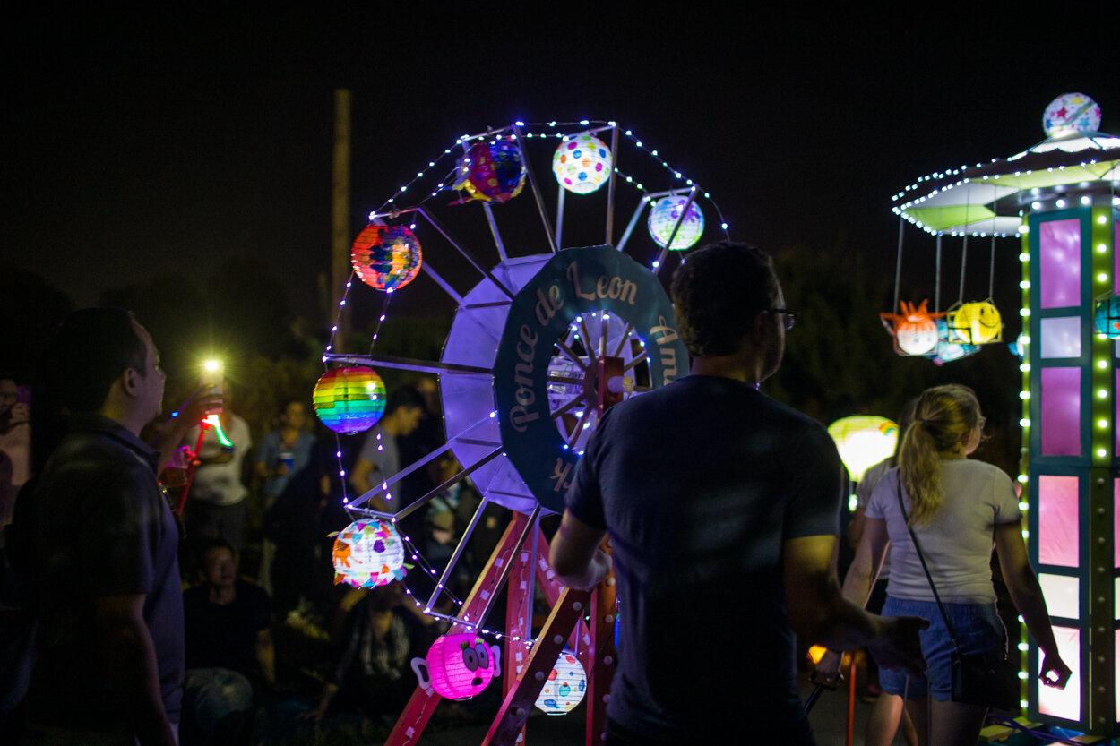
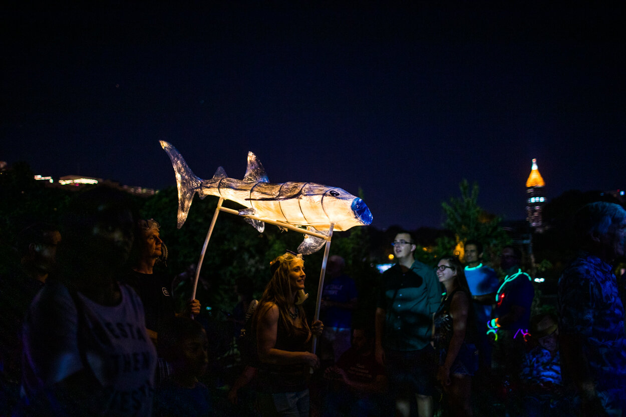
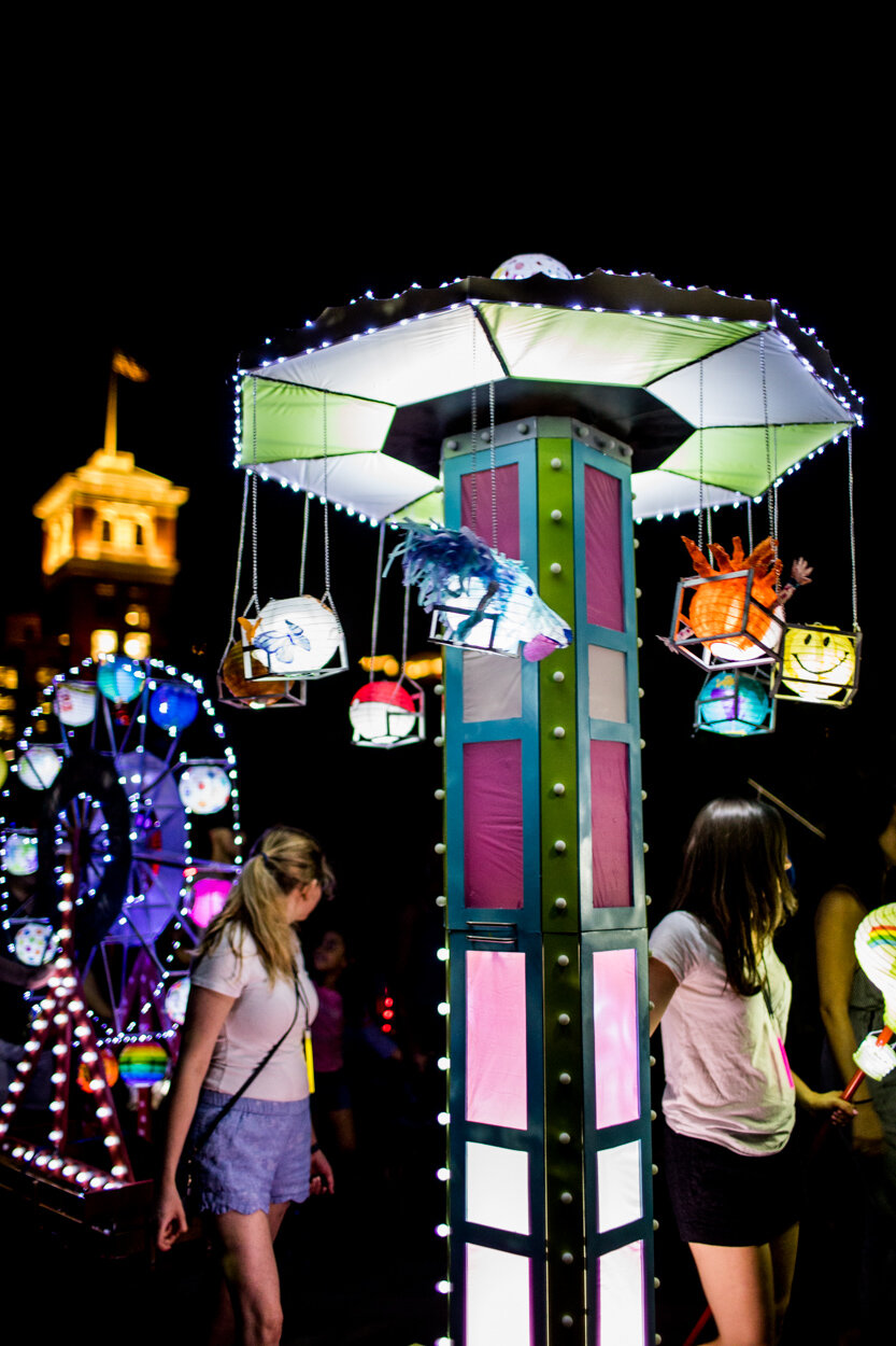
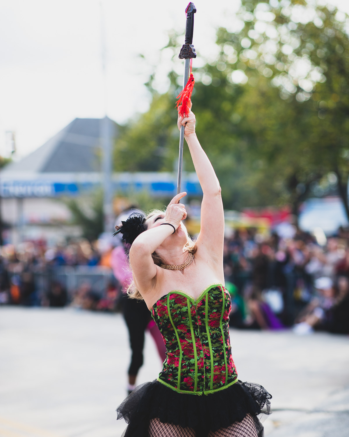
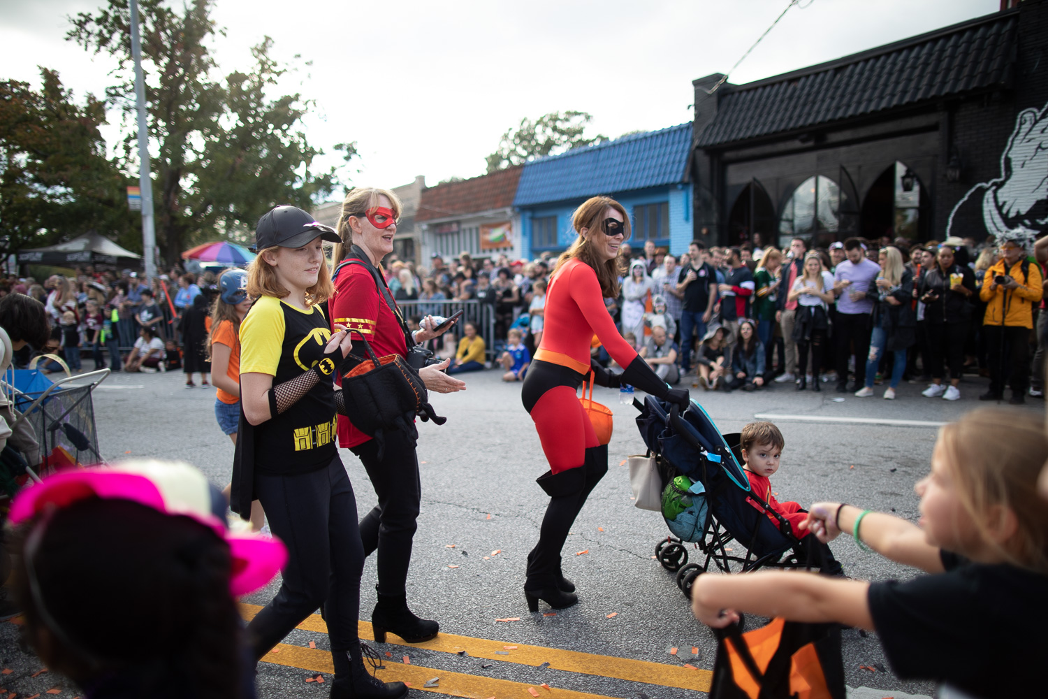
Photos from the 2019 Lantern Parade in Atlanta

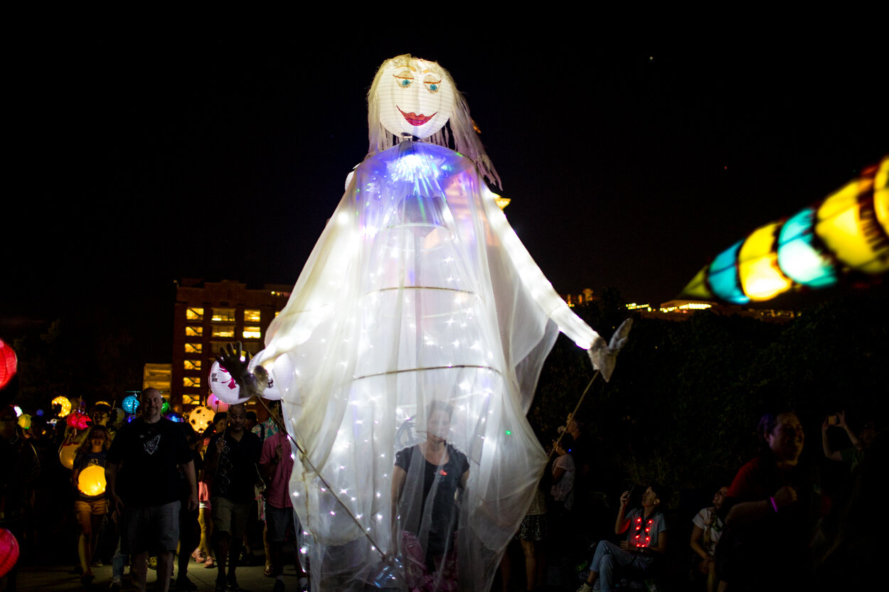
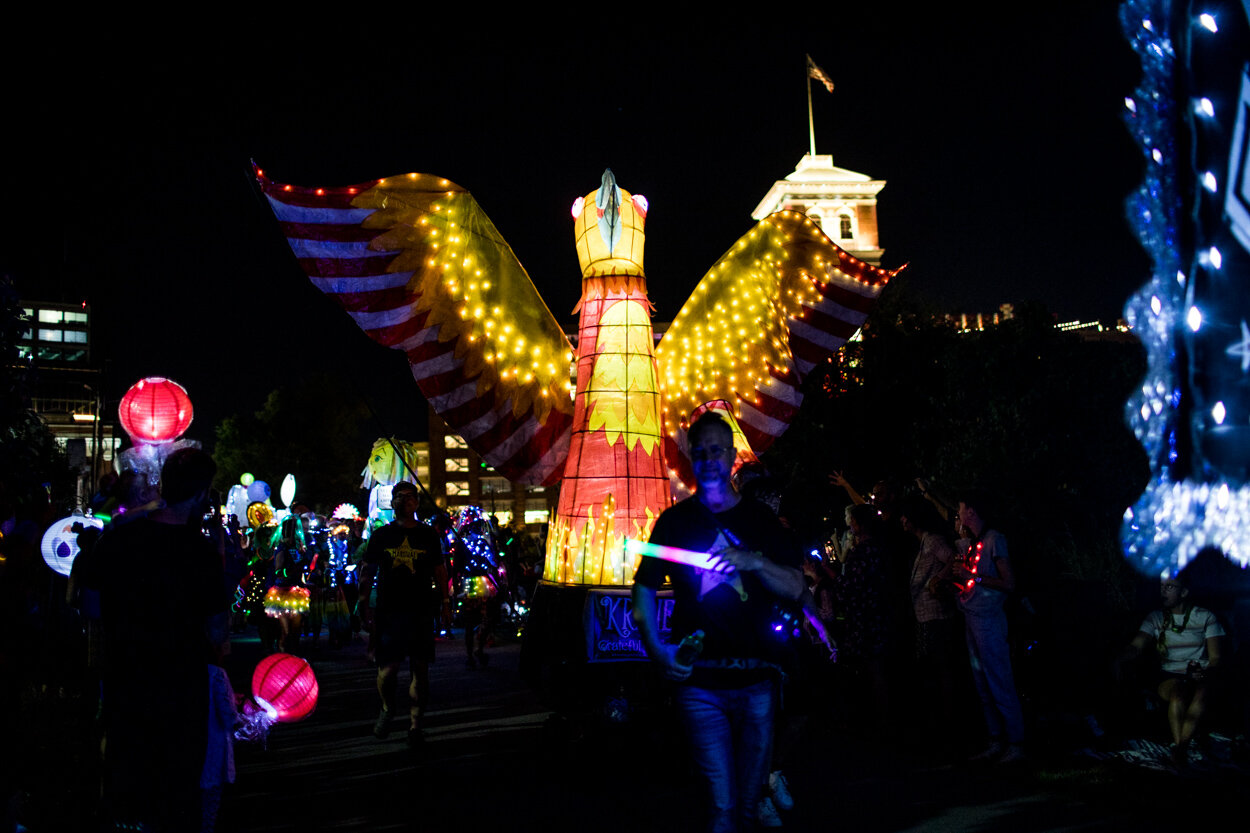
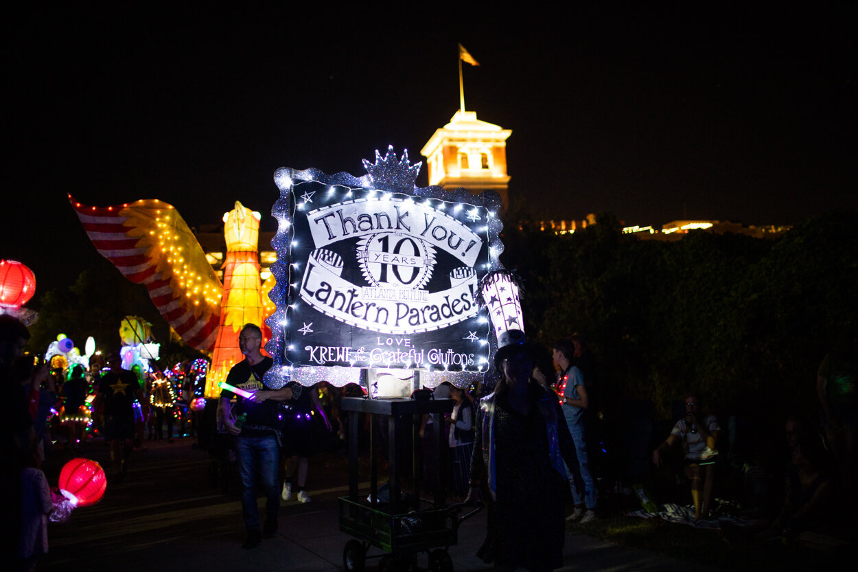
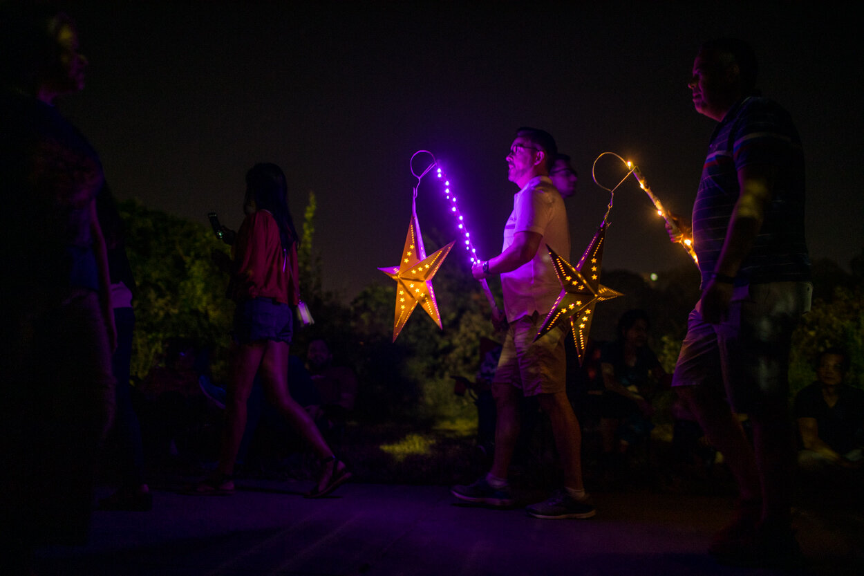
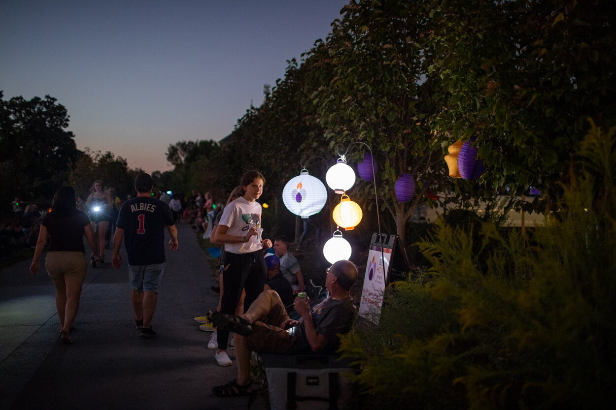
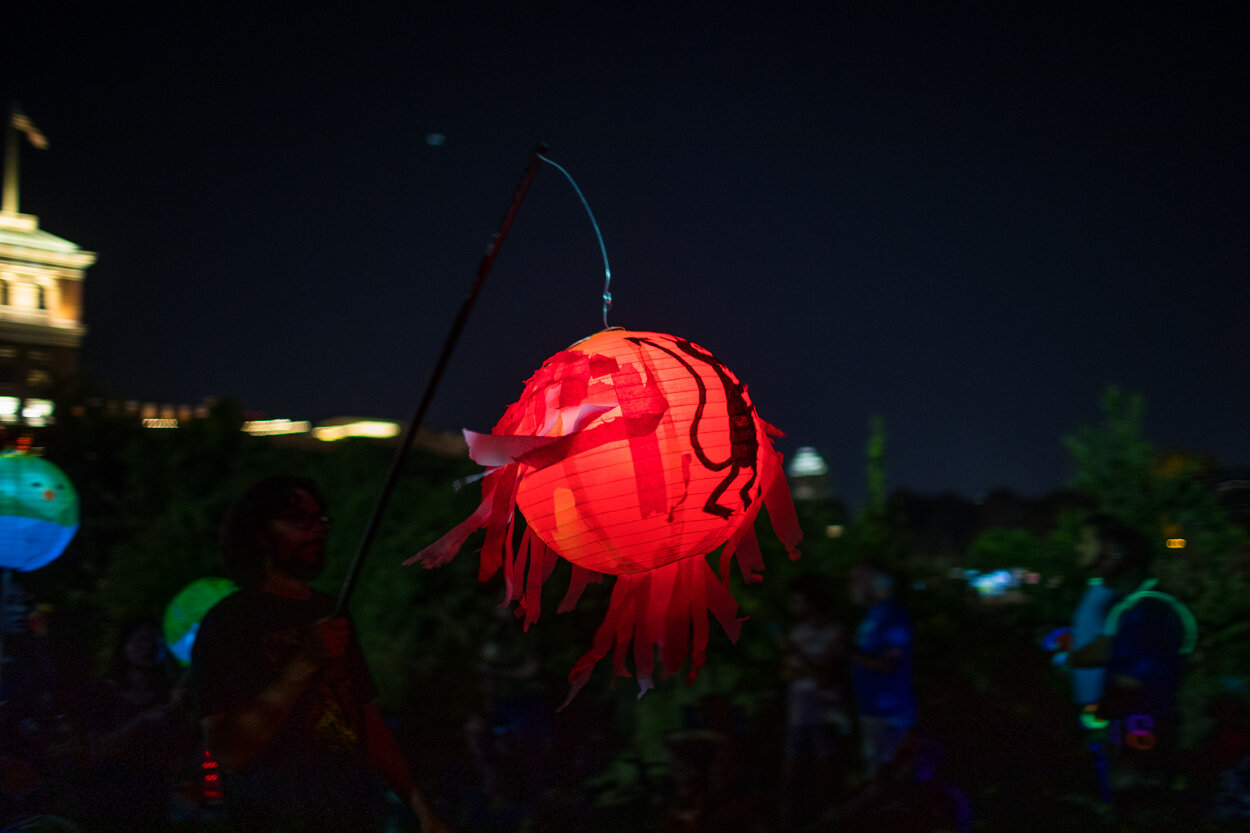
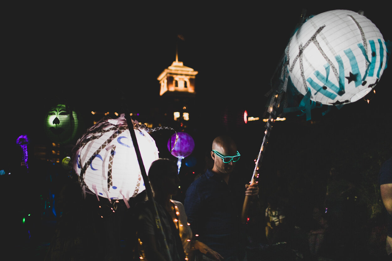
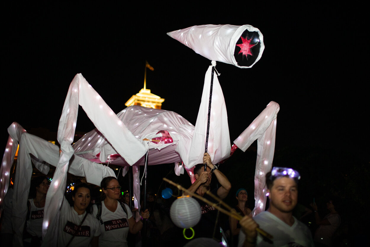
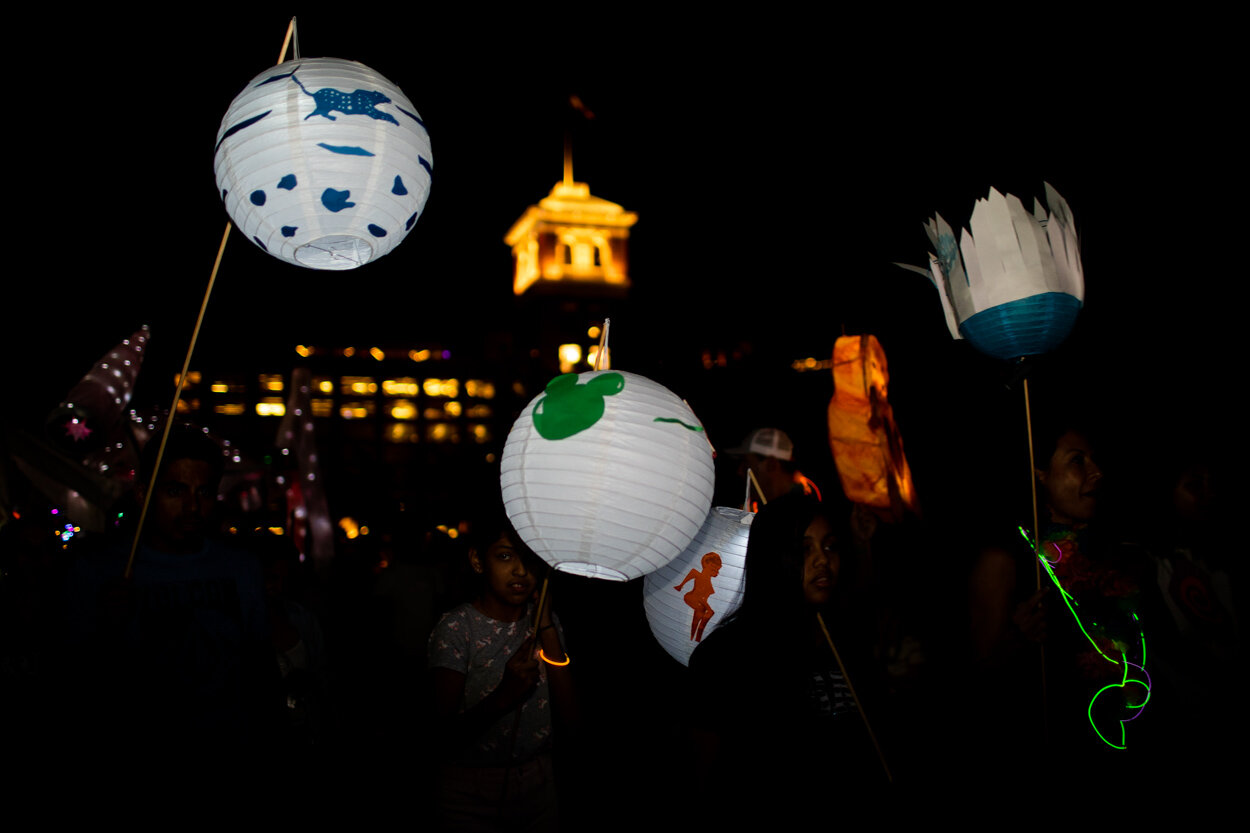
Last night, Atlanta was treated to the 10th annual tradition of the Lantern Parade along the Atlanta Beltline. Among tens of thousands of other spectators, I watched this amazing display of light and creativity. The Lantern Parade has become one of Atlanta’s great new(ish) traditions:

One of Atlanta's great new(ish) traditions! Created and hosted by Chantelle Rytter and the Krewe of the Grateful Gluttons, the Lantern Parade is a celebration of the annual Art on the Atlanta BeltLine exhibition, the largest temporary art exhibition in the south!

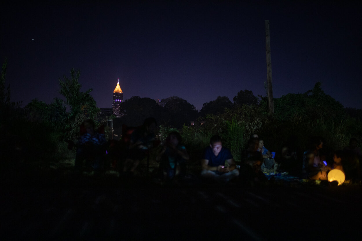
This year, I was (strategically) situated near the Ponce City Market, in order to frame the images against one of Atlanta’s landmark buildings. (Previously: see the photos from the 2015 Lantern Parade). This year’s Lantern Parade route began near Krog Street Market and continued north along the Eastside Beltline Trail toward Piedmont Park:

My favorite set of 19 images from the 2019 Lantern Parade appear below. The entire gallery of photos is embedded at the bottom of this post.

Enjoy!

Did you attend the 2019 Lantern Parade? What were your favorite lanterns and/or costumes from this year’s parade?


The entire gallery from the 10th Anniversary of the Lantern Parade is embedded below. If you recognize anyone in the photos, feel free to send/share this blog post with them!

Manhattan and the Statue of Liberty as Seen from the Staten Island Ferry

I’ve been to New York City dozens of times, but I had never taken the Staten Island Ferry before my last trip. Some claim that the Staten Island Ferry is the last remaining free thing left in the greater New York City.

From the NYC DOT, some great statistics (emphasis added):

The City has operated the Staten Island Ferry since 1905. The Ferry carries over 23 million passengers annually on a 5.2-mile run between the St. George Terminal in Staten Island and the Whitehall Terminal in Lower Manhattan. The Ferry runs 24 hours a day, 365 days a year. The Staten Island Ferry is the most reliable form of mass transit, with an on-time performance of over 96 percent.

On a typical weekday, five boats make 118 trips, carrying approximately 70,000 passengers. During rush hours, the ferry runs on a four-boat schedule, with 15 minutes between departures. Between rush hours, boats are regularly fueled and maintenance work is performed. Terminals are cleaned around the clock and routine terminal maintenance is performed on the day shift. On weekends, three boats are used (98 trips on Saturday and 96 trips on Sunday). The boats make over 40,000 trips annually. 

On this chilly Saturday evening, there were some moody skies over lower Manhattan—obscuring the Freedom Tower partially. I captured the photo below about ten minutes into the ferry ride toward Staten Island:

Manhattan as seen from the Staten Island Ferry. I’ve added this image to my New York City gallery.

There are some visitors who want to get a closer glimpse of the Statue of Liberty without actually going to a dedicated tour of Liberty Island. The Staten Island Ferry affords really great views of the Statue of Liberty, as seen below:

The next day, I made the return trip on the Staten Island Ferry to Manhattan. This time, the skies were clearer and all of lower Manhattan was visible:

A view of Manhattan at night, as seen from the Staten Island Ferry.

A panoramic scene of lower Manhattan (note the Statue of Liberty at the far left and Manhattan and Brooklyn Bridges illuminated at far right)

A panoramic view of Manhattan and the Statue of Liberty.

On the final approach to Manhattan from Staten Island, the ferry makes a gentle turn, allowing you to take in beautiful views of Freedom Tower and the surrounding buildings:

Freedom Tower at night, as seen from the Staten Island Ferry.

Photos from the Grand Re-Opening of FAO Schwarz at Rockefeller Center in New York City

During my recent visit to New York City, I stopped by the recently re-opened FAO Schwarz toy store. The store opened at 30 Rockefeller Plaza on November 16, 2018, just in time for the busy holiday shopping season. From the AP about the store’s cultural impact:

For more than 150 years, FAO Schwarz was known in New York City for its classy and sometimes extravagantly expensive toys. The fantasyland store it opened on Fifth Avenue in 1986 was a tourist attraction, replete with its own theme song, doormen who looked like palace guards and a musical clock tower. Financial problems at the parent company and rising rents closed that store in 2015, but FAO is now pulling back from the worst financial precipice since it was founded in 1862.

In recent weeks at 30 Rockefeller Plaza, workers drilled, hammered and sawed 24 hours a day to get the new store ready. Employees filled shelves with hundreds of plush animals that have long defined the brand — bears, bunnies, elephants, chicks and more. The big entrance clock tower has returned. And on the second level of the 20,000-square-foot space is a giant piano keyboard mat like the one on which Tom Hanks danced to "Heart and Soul" in the 1988 film "Big."

Photos from my visit to FAO Schwarz are below…

Walking into FAO Schwarz—expect plenty of crowds!

A Steiff plush bear at FAO Schwarz.

The Grand Piano is back, made famous in the 1988 film Big (see the clip here).

A small piano…

Toys for tots.

Almost ready to make the purchase…

The Barbie display at FAO Schwarz in Manhattan.

Ken and Barbie about to make their getaway.

This is what they call window shopping at FAO Schwarz.

Orangutan and unicorn, why not?

Giant clock inside FAO Schwarz.

Wink! ;-)

View from the second story of FAO Schwarz.

Looking up from below.

Inside FAO Schwarz are “stations” which have a theme, such as the FAO Raceway:

The racing station at FAO Schwarz. Customize your racer!

The holiday shopping season is in full swing—at least some of the customers are smiling!

Orange you going to buy that blaster?

Toys, toys, toys.

The famous FAO Schwarz teddy bear.

One interesting aspect of FAO Schwarz (and I think it has been true in the past) is that the store offers gifts that range from a few dollars to the thousands. Take, for instance, the Mercedes-Benz toy car encrusted with 44,000 Swarovski crystals. This handwork took over 126 hours to make by artist Kellie DeFries (aka the Crystal Ninja); the price matches the ostentatious glamor—it’s set at a dazzling $25,000.

FAO Schwarz branded Mercedes-Benz toy car. Price of admission: 25,000 USD.

Video of the FAO Schwarz Mercedes-Benz encrusted with Swarovski Crystals:

So much sparkle.

Near the revolving doors at FAO Schwarz in Manhattan.

The FAO Schwarz store has plenty of ways for kids and adults to entertain themselves even without purchasing anything. For instance, this little nook near the entrance had fun mirrors on all sides which you can photograph yourself and/or your friends or family.

“Am I Instagram-famous yet?” was overheard in this vicinity…

It’s been sad to watch toy retailers such as Toys “R” Us file for bankruptcy—here is to hoping that FAO Schwarz sticks around. This is an illuminating New York Times article on what the new management (Private Equity firm ThreeSixty) of FAO Schwarz is doing to prevent another downfall:

F.A.O.’s new owners are creating thousands of “stores within stores” at other large retailers as well as small stores in airport terminals and other locales across the United States and in China. The new locations will be stocked heavily with F.A.O.-branded stuffed animals and toys. To modernize the brand, the New York store will feature “Instagrammable moments” and soldiers’ uniforms designed by the supermodel Gigi Hadid.

ThreeSixty is essentially trying to replicate the F.A.O. Schwarz experience, while minimizing the costs of personnel, real estate and inventory. Other than its new flagship store in New York’s Rockefeller Center, many of the other locations will be owned and operated by other companies, while F.A.O. will collect franchising fees.


Did you make it to FAO Schwarz in New York City this holiday season? Feel free to comment about your experience or about your favorite part of the store!

Table of Love: Exploring Gillie and Marc's Rabbitwoman and Dogman Art Installation in New York City

On a short trip to New York City over the Thanksgiving holiday, I joined my cousin and his wife exploring parts of Manhattan which I hadn’t visited before.

One of their ideas was to take a few portraits around the Helmsley Building next to Gillie and Marc’s Rabbitwoman and Dogman art installation titled Table of Love. My cousin and his wife decided to blend with the scene while donning their Wintercroft masks.

Here is how Gillie and Marc describe their work and the popular Rabbitwoman and Dogman installations they are known for:

Gillie and Marc are best known for their beloved hybrid characters – Rabbitwoman and Dogman – who tell the autobiographical tale of two opposites coming together to become best friends and soulmates. Rabbitwoman and Dogman promote diversity, love and acceptance. As unlikely animal kingdom companions, together the Rabbit and Dog symbolize unity and togetherness – representing all people as one.

The artists met while working on a photoshoot in Hong Kong…and 7 days after meeting they were married on the foothills of Mount Everest. Because they came together while travelling, it’s always played a major role in their life and art.

Rabbitwoman and Dogman are frequently featured travelling the world, with a dream that all creatures, regardless of race, religion, or orientation, can have a safe place to never be judged. They dream that open hearts, and open minds can come together in a world that’s torn apart by its differences – differences that are really the most beautiful thing of all!

Posing in front of Gillie and Marc’s Rabbitwoman and Dogman art installation in New York City.

In front of Gillie and Marc’s Rabbitwoman and Dogman art installation titled Table of Love in New York City.

You can find the Rabbitwoman and Dogman as part of the Table of Love on the main level of the Helmsley Building in midtown Manhattan (on 46th Street between Lexington and Park Avenues; location on Google Maps: 237 Park Ave, New York, NY 10016, USA).

There are more than 100 art installations in Gillie and Marc’s theme of “Travel Everywhere with Love,” including the following art installations in New York City:

Happy exploring!


Explore more of Gillie and Marc’s public art installations of the Dogman and Rabbitwoman here.

Spotlight on Sweet Auburn Curb Market: A Collaboration with the Peach and Prosperity Podcast

I recently went behind the scenes with the Atlanta-based Peach and Prosperity podcast for the taping of their most recent podcast episode about Atlanta’s Sweet Auburn Curb Market (aka, Municipal Market).

You can listen to Peach and Prosperity’s Episode 11: Sweet Auburn—The Curb Market, at any of the links below:

Profiled in this podcast episode are Miss D and her New Orleans style pralines and candy, Just Add Honey Tea Company, as well as the director of the Sweet Auburn Curb Market and other vendors.

A selection of photos from this exploration of Sweet Auburn Curb Market are below.

Interior of Sweet Auburn (Municipal) Market. The Market has a few names, the reason for which is explained in the podcast episode.

Inside the Municipal Market.

Sweet Auburn Bakery, where fresh pies are baked daily.

Miss D’s famous popcorn. Listen to the episode to find out what makes the “Triple” so popular. (It’s delicious!)

Inside the Just Add Honey Tea Company shop. Note: they also serve coffee.

A scene from the Sweet Auburn Curb Market in downtown Atlanta, GA.


You can see the rest of the photos that accompany this podcast episode on the Peach and Prosperity website.

If I were to provide a sub-title to this podcast episode, it would probably be “Overcoming Adversity”—a testament to the vendors that call Sweet Auburn Market their home, but also to the market itself, which has operated in downtown Atlanta for over 100 years.

Listen to the podcast episode for more.

A Taste of the South at Rhubarb in Asheville, NC

For my birthday weekend, my parents and I decided to drive up to Asheville, NC and spend some time in this charming town. Asheville has a population of approximately 87,000 people, nestled between the Blue Ridge Mountains and Great Smoky Mountains, and is known for its arts, the great outdoors, and of course, incredible cuisine. For this particular evening, we narrowed our choice to Rhubarb based on their availability for seating for three between the prime dinner hours of 6PM to 8PM.

The James Beard Foundation highlighted the owner/chef of Rhubarb, John Fleer, as a Rising Star of the 21st Century. Additionally, John Fleer received a finalist spot for James Beard Best Chef in the Southeast on several occasions. However, you don’t have to be aware of the chef’s accolades to enjoy a wonderful meal at Rhubarb.

The location of Rhubarb is at 7 SW Pack Square, although if you are looking at a zoomed-out map of Asheville, it’s located a few feet away from the very busy Asheville Avenue and Patton Avenue intersection.

Rhubarb is nestled in this little square, just to the left of the large tree at the center of frame near the Biltmore Avenue and Patton Avenue intersection.

If you pay attention to the details, both on the exterior and interior of Rhubarb, you will notice the incorporation of natural elements (such as wood and flowers) and the rustic ambiance.

Front entrance to Rhubarb. (It is Instagram-post worthy).

The fresh bouquet of daisies at the table at Rhubarb were a pleasant sight.

We were made aware by our server that because of the farm-to-table nature of Rhubarb, the menu is actually changed daily (as evidenced by the stamp with the current date on each of the menus the diners review). The appetizer menu is dubbed “Passing Time” and for fall 2018, it appeared very similar to what is presented on Rhubarb’s website:

The “Passing Time” menu portion at Rhubarb.

The “Passing Time” menu portion at Rhubarb.

We decided to try out the barbecued lamb ribs and the seared royal red shrimp from the “Passing Time” section of the menu for our appetizers.

The barbecued lamb ribs at Rhubarb.

The seared royal red shrimp at Rhubarb.

The lamb ribs were very tender with a slightly sweet barbecue sauce. They were absolutely delicious and could serve as one’s main course. The shrimp were delicate, and the cashew butter was an amazing touch to the shrimp.

From the main course menu, we decided to order the wood-roasted whole sunburst trout, wood-grilled BCF bavette steak, and the quail (which isn’t seen in the menu screenshot below).

The “Full Plates” section of the menu at Rhubarb.

The “Full Plates” section of the menu at Rhubarb.

The wood-roasted whole sunburst trout arrives to our table.

The server kindly asked whether we would like to have the trout cleaned for bone removal, to which we agreed. A few snaps from this de-boning (which was riveting in its own right) are below. (I commented this procedure shares a fine balance between an art and a science).

Near the beginning of the de-boning operation at Rhubarb.

Servicing (de-boning) the trout at the table at Rhubarb.

Removal of the backbone from the trout.

Removal of the backbone from the trout.

The trout ready to eat.

The quail was beautifully presented and the raspberry sauce on the side was delicious.

The quail from the rotating dinner menu at Rhubarb.

Inside the main dining room at Rhubarb.

Rhubarb (the setting) is charming, rustic, and embodies Chef & Owner John Fleer’s perspective on the connecting power of food:

I believe in the power of the table, the value of passing food, and of sharing stories and listening. These moments around a shared table deepen the ties between people we care about, in turn strengthening the web of our families, friendships, and communities.

Sharing food is transformative. I have experienced it throughout my life with family and friends and strangers. As a chef, I have witnessed how sharing a meal can reveal insights and discovery – often unexpected – about who we are and why we do what we do. These experiences deepen the connections between us, connections that ultimately elevate our lives. 

Overall, Rhubarb was a five-star experience all-around: food, service, and ambiance were incredible. I definitely recommend trying out Rhubarb if you’re ever in Asheville, NC.

If You Go

Rhubarb is located in downtown Asheville, NC at 7 SW Pack Square. Reservations are highly recommended for dinner, although Rhubarb has some tables open for walk-in customers during prime hours.

On a future visit to Asheville (and especially if your itinerary falls on a Sunday), it would be really interesting to check out the Sunday Supper at Rhubarb. The Sunday Supper is a three-course meal ($34 for adults and $13 for children), and its premise is explained by Chef/Owner John Fleer:

Each Sunday at 6:30 we serve a three-course meal at the communal tables. The Sunday Supper menu is different from the regular restaurant menu and reflects the bounty of the weekend markets presented family style. Also, a local guest farmer hosts our weekly convivial community tables. It’s not just “farm to table”, it’s “Farmer to Table”. We start with a selection of snacks to pass, proceed to an entrée with several accompaniments served family style and finish with dessert. 

The supper table is a universal opportunity for people who may or may not know each other to reflect on the day and on their shared experiences.  Maybe children and restaurants don’t always mix perfectly, but the table is where kids learn to talk, listen, share, and become a part of a community. Families and communities, however you define them, harmonize naturally at the dinner table, at a restaurant or in the home. That’s how I hope everyone will experience Sunday Supper.

A long line of patrons waiting to get seated at Rhubarb for dinner.


Rhubarb
Web | Facebook | Instagram
7 SW Pack Square
Asheville, NC 28801
ph: 828-785-1503

The 2018 Little Five Points Halloween Parade

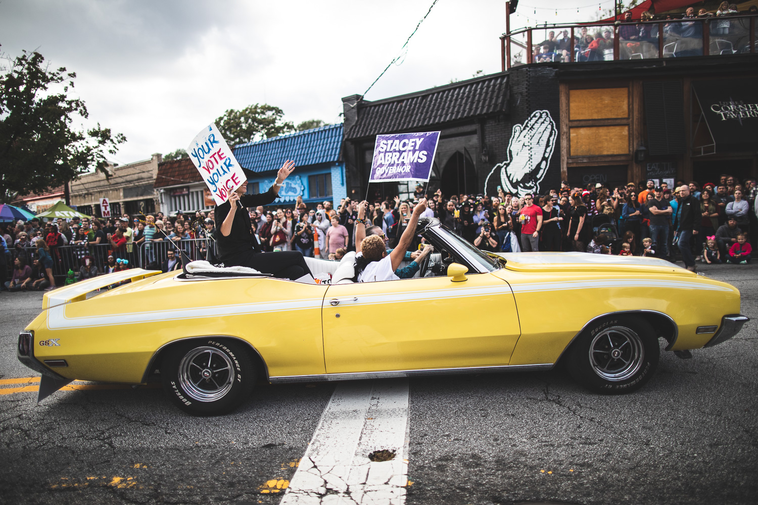
Yesterday was the 18th annual Little Five Points Halloween Parade in the Little Five Points neighborhood of Atlanta, GA.

The parade route started at Austin and Euclid Avenues and continued up Euclid Avenue to Moreland Avenue. I arrived and grabbed a spot at the McClendon Avenue and Moreland Avenue intersection, across from The Corner Tavern. Below is a gallery of photos I captured from the 2018 Little Five Points Halloween Parade.

My favorite images are below (I especially loved the Thriller ambulance and the Zombie librarians from DeKalb County Public Library).

A full gallery of the images from the Little Five Points Halloween Parade is at the bottom of this post.


A GrantMeFood Dinner with the "1912 Paris" Theme

Last weekend, I attended a GrantMeFood dinner with the theme of 1912 Paris. It was my second GrantMeFood dinner (I blogged about my first experience here), and it was, again, fantastic. Chef Grant and his wife Ria made everyone feel welcome and did an amazing job preparing, cooking, plating, and hosting.

On the menu this time:

Course 1: Gougères au foie gras with blackberry gel & hazelnut

Course 2: Beef tenderloin with dill crème fraîche, horseradish, capers & zest

Course 3: Celery velouté with celery leaves, smoked morels, and lemon oil

Course 4: Summer vegetable tarte (a play on ratatouille) with eggplant, zucchini, squash, roquefort, truffle, tarragon & red pepper pureé

Course 5: Duck (72 hour prep) with caramelized onion broth, field pea & mint pistou, earl grey ash, and pea shoots

Course 6: Chocolate soufflé with basil sabayon

Some photos I captured at this dinner are below.

Ria serving the beef tenderloin with dill crème fraîche, horseradish, capers & zest.

Detail of the beef tenderloin.

Celery velouté with celery leaves, smoked morels, and lemon oil

Ria serving the summer vegetable tarte (a play on ratatouille) with eggplant, zucchini, squash, roquefort, truffle, tarragon & red pepper pureé.

Ria serving the summer vegetable tarte.

Detail of the summer vegetable tarte. So yummy!

Prepping the plates.

Grant and Ria plating the tarte.

The tarte is ready to be served.

The tarte is served.

Another angle of the vegetable tarte.

Serving of the duck (72 hour prep) with caramelized onion broth, field pea & mint pistou, earl grey ash, and pea shoots.

Another view of the final serving of the duck.

The duck was the star of the evening.

Getting ready to put the chocolate soufflé into the oven.

Chocolate soufflé out of the oven.

Grant and Ria putting the final touches on the chocolate soufflé.

Grant and Ria putting the final touches on the chocolate soufflé.

Chocolate soufflé with basil sabayon ready to eat.

If you are interested in tasting incredible food in a warm, friendly atmosphere (and don't mind the serendipity that's involved with interacting with other strangers/like-minded foodies around Atlanta), I highly suggest checking out the GrantMeFood website and signing up for his mailing list (some dinners sell out very quickly as there are only eight spots at the table), following the @GrantMeFood Instagram account, and liking/following the page on Facebook.

Experiencing a Flightseeing Tour of the Alaska Range and Denali with Talkeetna Air Taxi

One of the highlights of my trip to Alaska was experiencing a flightseeing trip to see the Alaska mountain range and Mount Denali with Talkeetna Air Taxi.

Talkeetna Air Taxi offers three types of flightseeing tours: Southside Explorer, Mountain Voyager, and Grand Denali; each of these options may be upgraded with a glacier landing. The day I decided to go on the flightseeing tour, I was informed by a customer agent that numerous clouds around Denali (the mountain) meant that Grand Denali was not offered that morning or afternoon. I opted to take the Mountain Voyager tour with the glacier landing. However, I was informed that the feasibility of a glacier landing would be at the discretion of the pilot once we got closer to the Alaska Range.

An overview of the Mountain Voyager trip with Talkeetna Air Taxi. Source: Talkeetna Air Taxi.

Talkeetna Air Taxi has a fleet of 10 aircraft: DeHavilland Turbine Otter (5), DeHavilland Beaver (3), Cessna 185 (1), and Robinson R44 Raven II Helicopter (2). That morning, the travel group with which I would go flightseeing would board the DeHavilland Otter plane, as pictured below:

A DeHavilland Otter, the plane on which the flightseeing tour would occur.

The rest of this post is divided into photos from the various stages of the flightseeing tour: Talkeetna surroundings, glacier fly-by, and the Alaska range of Denali National Park (including a photo of Denali).

Talkeetna Valley and Surroundings

As we departed from Talkeetna Airport, the pilot flew fairly low so that the passengers aboard were treated to some great views of Talkeetna and its surroundings. 

Shortly after take-off from the Talkeetna Airport (TKA). Note the airport in the upper right of the frame.

The instrumentation aboard the DeHavilland Otter. 

Three rivers, the Talkeetna, Chulitna, and Susitna converge at Talkeetna to become the "Big Susitna River." The name "Talkeetna" loosely translated, means "River of Plenty", or more literally, "Place where food is stored near the river", meaning a place where a food cache was located. The word "Susitna" in Den'aina Indian language means "Sand Island River". Chulitna means "Strait Hand River" though some locals translate it with "Tongue River". The Den'aina Indians were an Athabascan subgroup who inhabited the Upper Cook Inlet drainage. For some local residents Talkeetna simply means: "Where three rivers meet". As we flew over the Talkeetna valley, the rivers came into prominent view.

One of the rivers we flew over, on the way toward the Alaska Range. Talkeetna (the town) lies at the confluence of the Susitna, Chulitna, and Talkeetna Rivers.

River and valley views.

As we flew deeper into the valley on our way toward Denali National Park, the low-lying cloud formation would be foreshadowing of what was to come near the mountains...

The valley and clouds.

The valley and clouds.

Flying over the valley.

Glacial stream in the highlands.

Glacial rivers from the nearby Alaska Range are the source for this silt-rich lake. Also posted on Instagram.

Glacier Views from Above

After about thirty minutes after take-off from Talkeetna Airport, we were flying above glaciers. The Mountain Voyager flightseeing tour flies over the following glaciers: Kahiltna, Ruth, Tokositna, Eldridge, Kanakula, Buckskin, and Coffee.

A selection of photos from the glaciers is below.

A very long glacier.

Detail of a glacier. Note the numerous crevasses.

Glacier and moraine. 

Glacier and moraine. 

Detail from a glacier and a moraine. 

A zoom-in of the photo above, showing some detail of the ice and glacial moraine.

Another perspective of flying over a glacier. 

Views of the Alaska Range and Denali at Denali National Park

About ten minutes after flying over the glaciers and increasing our altitude above the cloud layer, and we were flying amongst the majestic peaks of the Alaska Range. Around this time in the flight, the pilot informed our group (via headphones that we wore during the duration of the flight) that a glacier landing would not be possible that day because the low-lying clouds in the surrounding glaciers (such as the Kahiltna Glacier and the Ruth Glacier) made it too dangerous. 

As we flew over the mountains, our pilot identified various mountain peaks that were visible: Mount Hunter, Mount Foraker, Mount Denali, among others. I have to do additional research to identify the peaks visible below by name; if you recognize the mountain peaks below and/or are an expert at mountain identification, please leave a comment on this post or send me an email so I can update this post with the mountain names of the mountains visible in the photos below.

Clear views of the mountains of the Alaska Range.

Flying over the Alaska Range. Also posted this image on Instagram.

Fresh mountain views.

The pilot of the plane made a few turns around the mountains, allowing captures such as this:

Views of the Alaska Range and the wing of the Otter.

One of my favorite images from the flightseeing trip is the one below, where you can see the mountains, clouds, the wing, and the sun rays.

Sun rays high above.

A mountain and clouds.

Clear views on the other side of the Alaska mountain range.

Do you notice where a likely avalanche occurred?

Mountain details.

Note the clouds layer on the far right of the frame.

Finally, Denali itself! It was actually hard to be certain I captured a photo of Denali and was only able to verify after I came back from the flight and had the chance to review and post-process the images. Denali was shrouded in numerous clouds but at least the peak was visible! 

View of Denali (formerly Mt. McKinley). The peak of Denali is 20,310 feet (6,190 m) above sea level.

View of Denali from a slightly different vantage point.

The flightseeing experience was absolutely breathtaking, if the photos are any indication. Some of the sensual experiences are hard to put into words—how cool the interior of the cabin became as we flew above the clouds in the Alaska Range—or the hesitation and trepidation one felt as we flew from a dense cloud layer and surfaced at around 11,000 to 12,000 feet! Even though we didn't get to experience the glacier landing on this flightseeing journey, it was something that we were prepared for (the Talkeetna Air Taxi customer representatives were very forthcoming about the conditions for a glacier landing being weather-dependent; we were refunded the glacier landing portion of our trip as soon as we landed back at Talkeetna Airport). In my opinion, we were lucky that we got to fly at all, as the previous two or three days the conditions were so poor that majority of the flights were cancelled. Such is the fate of so many activities in Alaska!

Overall, I highly recommend booking a flightseeing tour with Talkeetna Air Taxi if you travel to Alaska and find yourself in Talkeetna. If you have a flexible schedule, the representatives at Talkeetna Air Taxi will work with you and advise you of best flying times and opportunities for a glacier landing; there are no hard selling tactics at the company as customer satisfaction is second only to passenger safety at the company (you are welcome to re-book or cancel your flight without any cancellation/re-booking fees). The five star reviews on TripAdvisor (at the end of August 2018, the average rating is 4.929 out of 5) for Talkeetna Air Taxi overwhelmingly speak of this customer-friendly company and the experience you can expect going on a flightseeing tour with Talkeetna Air Taxi.

If You Go

Talkeetna Air Taxi is located at 14212 E 2nd St, Talkeetna, AK 99676. GPS coordinates for the main office are 62.32150ºN  150.09802ºW.

Flightseeing tours are offered year-round, except that the Grand Denali tour is not offered in the winter season.

Phone: (907) 733-2218
Toll Free: (800) 533-2219
http://www.talkeetnaair.com
info@talkeetnaair.com 

Visiting the Sled Dog Kennels of Denali National Park

One of the highlights in Denali National Park was visiting the dog kennels and observing a sled dog demonstration. Denali National Park is the only national park in the United States that has a working sled dog kennel; approximately twenty-five dogs perform essential duties in a vast expanse of designated Wilderness area of the park during the winter season. 

Each year, an average of 3,000 patrol miles are logged throughout the park's interior, all on the back of sleds pulled by the Alaskan huskies which live year-round at the kennels of Denali National Park. During the summer, attendance at the daily sled demonstrations totals over 50,000 annually. The highlight for visitors comes when five dogs are hitched to a wheeled sled and a naturalist takes the dogs for short runs on a gravel track around the kennels. Photos from my visit are below.

History of the Sled Dogs at Denali National Park

Denali National Park has had sled dogs since 1922. The first Superintendent of Denali National Park, Harry Karstens, purchased the first seven sled dogs for use patrolling the newly established park boundaries. The park has maintained working dog teams ever since. Their job has evolved over the years and they are no longer patrolling for poachers, but they are still performing essential work. Because over 2 million acres of Denali National Park and Preserve is designated by the federal government as wilderness (the highest level of protection for public lands in the United States), no mechanical or motorized machines (such as snowmobiles) are permitted. This is where the sled dogs play an integral part in in providing transport for many projects in Denali during the winter months. For instance, scientists use the sled dogs in Denali to haul research and monitoring equipment in the Wilderness.

Characteristics of the Denali Sled Dog (Alaskan Huskies) 

The Alaskan Husky is not recognized as a standardized dog breed by any major kennel club; instead, the Alaskan Husky breed is defined only by its purpose, which is that of a highly efficient sled dog. There is no breed standard appearance required of Alaskan Huskies: they come in all different shapes, sizes, and colors (as you can see in the photos below). However, there are some consistent physical traits that all Alaskan Huskies share (and that they share with other northern pulling breeds like Siberian Huskies and Malamutes). These common traits include long legs for breaking trail through deep snow, tough feet, a good, thick fur coat and a nice, bushy tail to keep them warm in Alaskan winters. In addition to the physical traits, they also need to have certain mental and personality traits that make a great sled dog including a love of running and pulling, and a strong connection to people, yet the independent confidence to make decisions while leading a team on the trail. Denali National Park has a video series on how the Alaskan husky puppies are raised and trained to become sled dogs.

Sled Dog Demonstration

After a ranger-led twenty minute discussion of the sled dogs kept at Denali, visitors were treated to a demonstration of the dogs pulling a cart over a short track. The park ranger on the microphone explained that as the sled dogs are brought out, they are picked up by the collar and walk on their hind feet. This approach does not hurt the dogs and they are trained to walk this way since they are puppies. Walking the dogs to the sled in such a manner also protects them, as the ranger handling the dog will not accidentally step on the front feet of these working dogs.
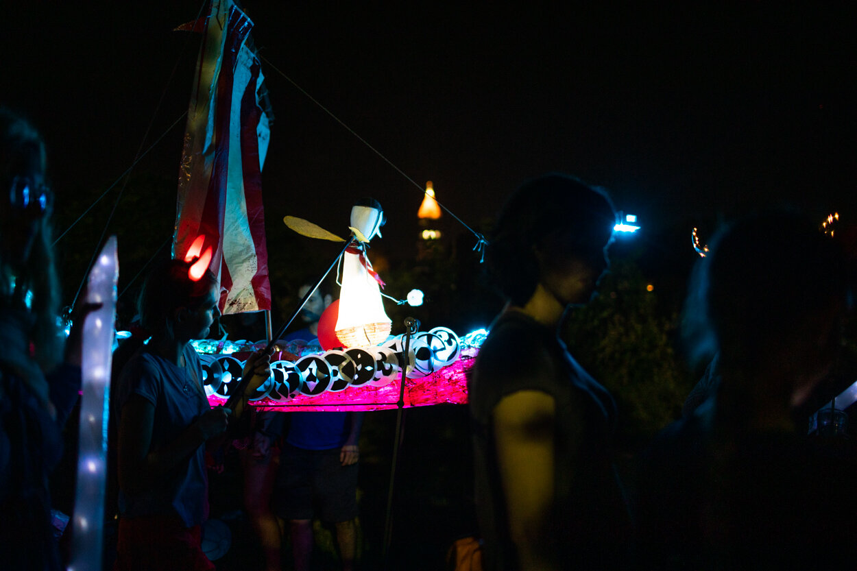
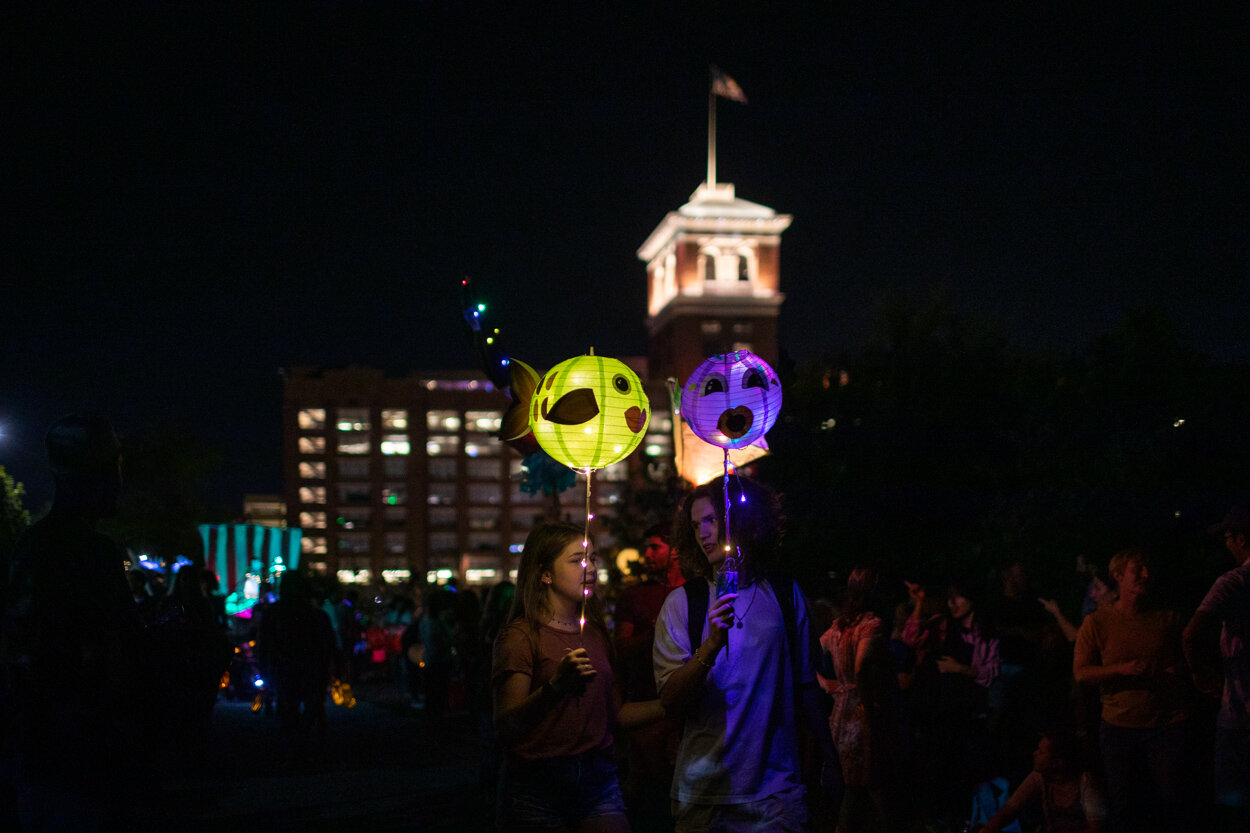
Bringing out a sled dog for the demonstration.

Getting ready to be harnessed.

Walking toward the summer cart.

Getting in position.

These dogs were so excited for the run around the track!

"Can we go already?" 

And off they go!

All five dogs on the summer track at Denali National Park.

Around the bend they go.

The home stretch in front of dozens of park visitors.

The park rangers on the cart look pretty happy.

Post-run snuggles.

Portraits of the Denali Sled Dogs

After the run around the summer track, visitors are allowed to go interact with the Denali sled dogs. Some of the dogs are kept in their own kennels, while others are in an open environment where visitors can touch the dogs (the dogs are secured by a long leash). The primary instruction provided by the park rangers was not to try to pet or call out the dogs that were in their dog houses (they need their break from human interaction!). 
Those blue eyes.
Not quite napping.
Break time.

"Enter the Matrix." (Matrix is the name of the dog, not the doghouse).

S'More taking a break. S'More is one of the shier dogs in the Denali kennels.

Chillin'.

Opus.

Attentive.

Happy chewing on a bone.

The dogs appreciate shoulder and back rubs from visitors.

If You Go

The Denali sled dog kennels are located about 3 miles inside the park. The kennels are open year-round to visitors. In winter, the dogs and rangers are frequently in the park rather than at the kennels, so you may wish to inquire at the visitor center before coming to see if the dogs are around. 

Opening hours

Summer: May 15 to mid-September
9 am to 5 pm

Fall: September 19 to October 21
10 am to 4 pm

Winter: October 22 to February 15
Noon to 4 pm

Spring: February 16 to May 14
10 am to 4 pm

The dog kennel demonstrations (run from around June 1 through September 1) happen three times daily at 10AM, 2PM, and 4PM. You can take a free bus (Sled Dog Demonstration Shuttle) from the visitor center to the dog kennels about 40 minutes prior to the starting time of the demonstration. Alternatively, you can walk 1.5 miles from the Denali Visitor Center to the kennels. 

The sled dog demonstration is highly informative (and entertaining!) and should definitely be a stop on your itinerary to Denali National Park (whether you're visiting for half a day or longer).

More information is here.


The McCarthy Lodge Bistro: The Best Dinner I Had in Alaska

Having returned from an eighteen day trip to Alaska, I have been thinking about where to start with the blogging process. As I was looking through the images, I thought it would be great to start with a foodie blog post. Hands down, the best food I ate in Alaska was in a remote town of McCarthy at the McCarthy Lodge Bistro. The town of McCarthy is located deep inside Wrangell–St. Elias National Park and Preserve. The town has a population 28 in winter; the population is higher in the summer during the peak tourism season.

The McCarthy Lodge Bistro in McCarthy, Alaska offers a wonderful breakfast in the morning, but it's the seasonal dinner menu for which this restaurant is known (and should be praised for). When you arrive, you are greeted by friendly staff who bring around this blackboard with them displaying the items on the menu that particular evening. Our waitress explained each item on the menu with great care and our group had some tough decisions to make on what to order—everything sounded delicious!

The blackboard at McCarthy Lodge Bistro showing the dinner options.

I brought my camera with me and captured a few of the photos from the McCarthy Lodge Bistro. Every appetizer/main course was eloquently presented and showcased great Alaskan ingredients. 

Salad en croute. 

Miso sablefish. 

Amazake bison ribeye.

Blueberry cheesecake and ice cream.

On top of the incredible selections for both appetizers and main courses, the McCarthy Lodge Bistro boasts an impressive wine list and a great selection of signature cocktails. Our group of eight were all raving about this dinner and could not stop talking about how great the overall experience was. The impeccable service, the delicious meals and imaginative drinks, and the wonderful ambience were all memorable.

If I could make a recommendation, I would say that you should go out of your way to McCarthy, Alaska just so you can dine at the McCarthy Lodge Bistro. If you aren't staying in McCarthy but are backpacking or exploring Wrangell–St. Elias National Park and Preserve, the Bistro is a must-stop. For me, dinner at the McCarthy Lodge Bistro was by far the best meal I had during my entire trip in Alaska. The Bistro should be on the Michelin list of places to dine in the Last Frontier.


McCarthy Lodge Bistro
101 Kennicott Ave, McCarthy, Alaska
Wrangell-St Elias National Park and Preserve, AK 99588-8998
907-554-4402

Photos from the 2018 Doggie Daze Festival at the Blue Heron Nature Preserve

On July 14, 2018, I attended the annual Doggie Daze festival at my local Atlanta park, Blue Heron Nature Preserve

Among dog-related vendors/charities present at the event were:

I captured the vendor booth photos as part of my volunteer efforts that day, but in this post, I wanted to highlight photos of the dogs (and their human owners) that showed up to the event. If you recognize any of the dogs (or owners) featured below, please leave a comment!

Scenes from Glacier National Park: Day 6

The last full day of exploration of Glacier National Park with my group was centered around the Iceberg Lake hike.

At the beginning of the trail (maybe a half mile in), we noticed about a half dozen people not moving forward. Turns out they spotted a bear in the vicinity. We noticed that it was a bear mom with two cubs. A few minutes of waiting and we proceeded forward with caution. Not more than ten minutes later, we saw another bear mom with two cubs. At first, these cubs climbed a tree but then they walked down. It was unclear what was going to happen with the bear mom protecting her cubs, so our group leader told us to stay back as we let the bears have ample space to cross the trail, if they wanted. At this point, about twenty people were lined up, almost single file, waiting for this bear and her two cubs to cross the trail. We stood patiently waiting, and eventually the bears made their way down the hill.

I didn't get a good photo of this bear encounter (as I didn't have a long lens attached and I was in the back of the group), but a participant in our group captured a great photo:

Bears advancing on the Iceberg Lake trail. Photo credit: Steven Werner.

Does it look like the bears are smiling as they are coming down? 

After the morning bear encounter, it was a bear-free walk for the rest of the hike.

The Iceberg Lake trail.

Scene from the Iceberg Lake trail.

Shortly before the trail ends at Iceberg Lake, there is a smaller lake (I believe it is unnamed) where our group decided to rest and eat our picnic lunch.

The unnamed lake near Iceberg Lake. Great spot to rest with fewer visitors compared to Iceberg Lake.

Views of the unnamed lake.

As we were eating our lunch, we noticed a couple of moose in the distance:

Moose on the hills.

Just prior to arriving to Iceberg Lake, we noticed a mama moose with her calf feeding on the nearby bushes. They were so close to the trail that a ranger had to step in and ask people to stay away at least 25 yards from the animals. 

A moose and her calf on the Iceberg Lake trail.

The moose walked around Iceberg Lake and even went into the water. At an elevation of 6094 feet, Iceberg Lake is surrounded by Mt. Wilbur towards the south, and Iceberg Peak and the Continental Divide to the west. I walked around the lake to capture a few photos:

An iceberg floating in Iceberg Lake.

A view of Iceberg Lake from an unmelted snow patch.

A vertorama (two images stitched together) of Iceberg Lake.

Detail of the rock formations in Iceberg Lake.

This guy had the right idea to bring a hammock...

After about an hour walking around the lake and relaxing, we turned around and started walking back to the trailhead. Along the way, we paused to take some photos of wildflowers:

Beautiful wildflowers on the Iceberg Lake trail.


The Glacier blog series is complete. I will probably do a wrap-up post with my favorite images in the future; doing so will also allow me to post some new images which I've had additional time to review and post-process.

If you want to see the previous Glacier National Park blog posts, the previous entries are linked below:

  • Day 1 (Lake McDonald and Avalanche Creek)
  • Day 2 (Logan Pass and St. Mary and Virginia Falls)
  • Day 3 (Logan Pass trail and Hidden Lake)
  • Day 4 (St. Mary Lake and wildflowers)
  • Day 5 (Grinnell Glacier hike)


Scenes from Glacier National Park: Day 5

Day 5 at Glacier National Park began prior to 5AM to catch the sunrise over Grinnell Peak. It was a three minute hike from the Many Glacier Hotel to get to an overlook of Grinnell Peak and Swiftcurrent Lake. As the sun continued rising, it illuminated the peak and the trees in a golden glow. I post-processed the below image in Lightroom and the LAB Color Mode in Photoshop:

Sunrise over Grinnell Peak in Glacier National Park.

After breakfast, our group had reservations on a boat (actually two boats) to get closer to the Grinnell Glacier trailhead.  The two historic wooden boats—Chief Two Guns on Swiftcurrent Lake and Morning Eagle on Lake Josephine—brought us to the Grinnell Glacier trailhead. The two lakes are only 0.2 miles apart. The Grinnell Glacier hike is about 7.6 miles round trip from the upper boat dock on Lake Josephine (see photo below). Otherwise, if you opt not to take the boat, the hike is 12 miles round trip beginning at the Many Glacier Hotel trailhead.

Passengers departing the Morning Eagle on their way to traverse the Grinnell Glacier trail.

The Grinnell Glacier hike saw a moderate ascent almost immediately. I captured the below photo of our group going up:

The beginning of the Grinnell Glacier hike.

After about fifteen or twenty minutes of ascent, one was treated to beautiful views. Note the boat ramp in the center of the frame and the bridge in the lower right that was near the beginning of the Grinnell Glacier trail:

Views from the Grinnell Glacier hike.

About 3/4 of the way to the Grinnell Glacier, one will come across a waterfall. Those that aren't afraid of the slippery rocks can veery toward the left and get little exposure to the waters. Others, perhaps afraid of heights, braced for a little cooling off, as seen in the below two photos. This portion of the hike is one of the congested spots.

Walking through a small waterfall on the Grinnell Glacier hike.

Made it! A waterproof jacket and quick-drying pants are helpful.

Another thirty more minutes and you come across the Grinnell Glacier and Upper Grinnell Lake. Our group spent about an hour here, capturing photos and walking on the edge of the lake.

Final destination: Grinnell Glacier and Upper Grinnell Lake.

Grinnell Glacier and Upper Grinnell Lake.

On the way back, the sun was high up in the sky, which made the deep ceruleans/turquoise colors of Grinnell Lake incredible to behold. The turquoise color of Grinnell Lake in Glacier National Park is a result of "glacial milk," a suspension of fine particles of limestone (calcium carbonate) ground by glacial movement from the Grinnell Glacier over a limestone bed. In the photo below, you can make out the stream of glacial waters entering the lake near the bottom right corner. I hadn't seen colors like this since my trip to New Zealand.

Deep turquoise color of Grinnell Lake. 

On the way back, you're also afforded spectacular views of all three lakes: Grinnell Lake, Lake Josephine, and Swiftcurrent Lake:

A view of Grinnell Lake, Lake Josephine, and Swiftcurrent Lake from the Grinnell Glacier trail.

At around 3:45PM, the Morning Eagle was on its way to pick up passengers on Lake Josephine. Our boat would arrive thirty minutes later.

The Morning Eagle arriving to dock at Lake Josephine.

Aboard the Chief Two Guns, I ended the afternoon by taking photos of the renowned Many Glacier Hotel.

Many Glacier Hotel as seen from aboard the Chief Two Guns.


If you enjoyed this post, please see my earlier entries from my visit to Glacier National Park:

Scenes from Glacier National Park: Day 4

On Day 4 at Glacier National Park, the wake-up call was in the early morning hours (around 5AM) to photograph the sunrise over St. Mary Lake. We were treated to a calm morning with relatively cloud-free skies. 

Sunrise over St. Mary Lake. Wild Goose Island is visible at the center of the lake.

After coming back to our hotel for breakfast, we packed up our bags and continued on our way toward the iconic Many Glacier Hotel, the largest hotel in Glacier National Park. 

Along the way, we stopped in a massive flower field to take a few photos. My identification of wildflowers is non-existent, so I am relying on this website to help identify flowers (you can narrow your search by location, elevation, flower color, and flower shape). 

Bigleaf lupine in a flower field at Glacier National Park. 

There's a metaphor embedded in the image below. Dare to be different, perhaps? Don't be afraid to stand out?

A lone blanket flower is seen among the lupines. Source.

A photo for scale and density of these wildflowers:

An RV on its way to Many Glacier region of Glacier National Park.

After a great dinner inside the Ptarmigan Dining Room (dinner menu here) of Many Glacier Hotel, we had the evening to relax. I took some time to edit photos from the past couple of days and then stepped out on the balcony to catch the fleeting light.

Last light over Swiftcurrent Lake and Mount Grinnell.


See my prior blog posts from Glacier National Park below:


Scenes from Glacier National Park: Day 3

The highlight of the third day in Glacier National Park was driving over the Going-to-the-Sun Road to the Logan Pass trailhead. From this location, it was a moderate hike to the top overlooking Hidden Lake and Bearhat Mountain. The view from the top was incredible.

View of Hidden Lake and Bearhat Mountain.

At this location, we spent an hour walking around and taking photographs. Someone on the ledge had powerful binoculars and spotted a mountain goat about a mile away (maybe the distance was shorter, but the goat appeared as a tiny white speck). I zoomed in with my telephoto lens as the mountain goat began its descent:

The long trek to Hidden Lake begins.

We spent about thirty to forty five minutes paying attention to the mountain goat. Some visitors were trying to "will" the mountain goat to come closer to our vantage point. Eventually, everyone got their wish:

After a long wait, everyone's favorite mountain goat makes its appearance above Hidden Lake.

The mountain goat found something interesting near these rocks.

After photographing the mountain goat, it was time to start trekking back to the trailhead (the trailhead further down to Hidden Lake was closed by park rangers due to bear sightings in the vicinity). Along the way, two more mountain goats appeared, this time a mother mountain goat with a baby mountain goat (a baby mountain goat is called a kid):

A mother mountain goat (a nanny) and her baby goat (a kid).

Approaching the beginning of the Logan Pass trailhead, it was clear there was something happening in the distance. A lot of people were looking out into the meadow about two hundred yards away from the trailhead. There was a grizzly bear in the vicinity! I captured the below photo with my telephoto lens at maximum focal length (400mm):

Grizzly bear seen from a distance.

As I and dozens of other visitors continued down the path toward the trailhead (Logan Pass Visitor Center), the grizzly bear was on the move. There were two rangers eyeing the situation. Eventually, one ranger blocked visitors from continuing down the path from the north and the other ranger blocked the path from the south, giving the grizzly approximately three hundred yards of space to cross the trail. I captured the below photo about a minute before the grizzly crossed the trail:

Grizzly Bear sighting at the Logan Pass trailhead in Glacier National Park.

It was a safe grizzly encounter and the rangers at Glacier National Park did a great job keeping people safe and letting the grizzly bear pass through without any issues.

After lunch at Logan Pass, we got back in our vehicles and drove back to St. Mary Lodge. After dinner, we departed for an evening photo session with nearby waterfalls.

The sun peeking through at Glacier National Park.

The final destination of the evening was near the Rising Sun campground to capture the sunset over St. Mary Lake. I spent a few minutes walking about, marveling at the beauty around me,

Contrast at St. Mary Lake.

We spent about forty five minutes setting up tripods, talking long exposures, and capturing the sunset. At the end of the evening, the sun illuminated the clouds and made for a spectacular light show. Below is my initial edit of the scene as it unfolded:

Sunset over St. Mary Lake at Glacier National Park. Note the crescent moon in the upper left corner.


My earlier recaps from Glacier National Park:

Day 1
Day 2

Scenes from Glacier National Park: Day 2

The second day in Glacier National Park was full of spectacular sights. Today's wake up call was 5:30AM, with a morning photo session at Avalanche Creek. 

Avalanche Creek at dawn.

At 11AM, we departed from Lake McDonald Lodge to travel over the continental divide. We stopped along the road a couple of times to take in views like this:

Passing near the continental divide in Glacier National Park.

Tunnel view of Glacier National Park.

Tunnel view of Glacier National Park.

In the afternoon, we arrived to Saint Mary Lodge on the east side of Glacier National Park. After some rest and a late lunch, we were off to photograph some of the waterfalls in this area of the park (St. Mary Falls and Virginia Falls).

A view of the bottom portion of Virginia Falls.

As we circled back to the beginning of the trailhead, I caught the sun reflecting off the mountain peaks:

Golden light. Trees are charred from a fire that burned through this section of Glacier National Park in 2015.

Scenes from Glacier National Park: Day 1

I am currently in Glacier National Park in Montana, visiting this park for the first time. The cell service and Wi-Fi here are spotty or non-existent, but I will try to provide some updates from my trip on this blog. 

Today (Day 1): I drove up from the Flathead Valley region toward the West entrance of Glacier National Park. I took an afternoon hike toward Avalanche Lake (about 4.5 miles roundtrip), which I completed in about two hours. 

In the evening, the group with which I am traveling stopped near the Avalanche lake trail to capture some long exposure images of Avalanche Creek.

Avalanche Creek in Glacier National Park.

Wildflowers growing near Avalanche Creek.

After dinner at Lake McDonald lodge, I captured a couple of images of the evening light and the lodge:

Home for the night: Lake McDonald Lodge.

Evening light at Lake McDonald in Glacier National Park.

More photos to come from Glacier National Park as I edit them while on the road.

Visiting the Picturesque Town of York, Maine

Continuing south on the Maine day trip from Kennebunkport and Ogunquit, the last stop along the way was York, Maine. As I was driving into town, the temperature quickly changed from a high of 90 degrees Fahrenheit to a cloudy and breezy sub-70 degree afternoon. However, the cloudy weather and moody clouds made for a fantastic way to cap off the day.

Nubble Lighthouse

The first stop in York was the The Cape Neddick Light, which stands on Nubble Island. The lighthouse is commonly known as "Nubble Light" or simply "the Nubble".

Nubble Lighthouse in York, Maine. 

Nubble Lighthouse. Do you see a person walking on the island?

The United States Congress appropriated $15,000 for the building of a lighthouse on the Nubble Island in 1876. The first illumination from the lighthouse occurred on July 1, 1879.

Fun fact: Nubble Light belongs to the U.S. Registry of Historic Places. The Voyager I spacecraft, which carries a set of 116 images/illustrations of Earth’s most important man-made structures and natural features includes a photo of Nubble Light as part of its Golden Record💡. Why was Nubble Light chosen to represent one of 116 images on Voyager? According to the Voyager Record’s Design Director Jon Lomberg, the record’s creators wanted to depict the diversity of life and landscapes on Earth:

The picture shows a seashore, emphasizing humans’ preferred proximity to water. The wave splashes might be used to deduce some details of our gravity, atmospheric composition and surface pressure. The buildings are similar to buildings in other shots, but the tower form of the lighthouse might even give a clue as to its function—lighthouses might be required on the shores of many worlds. We’ll never know how much of this is understood—or even if the record is ever found. But the handsome, rugged shore of Maine is a fitting snapshot of the beauty of our planet, whatever else it says.
— https://www.smithsonianmag.com/travel/maine-lighthouses-180951882/?page=3

A lone fisherman on the rocks at Nubble Point in York, Maine.

Views from Sohier Park (Nubble Point) in York, Maine.

Cliff Walk in York, Maine

The Cliff Walk in York, Maine was absolutely spectacular. There were very few tourists along the path and it allowed me ample time to take photographs. 

York Harbor Beach. The Cliff Walk is steps away.

The long days of summer call for reflection. Look closely: how many people can you spot in the photo? I also posted this photo on Instagram.

Curling toward the light on the York Cliffs.

One of my favorite compositions from the Cliff Walk in York, Maine:

Waves crashing against rocks at the York Cliff Walk. Also posted on Instagram.

A windy afternoon in York, Maine.

After I reached the northern tip of the Cliff Walk, I walked back in the same direction as I arrived. I stepped foot on the York Harbor Beach once again to capture the last light at the beach:

Last light in York, Maine.

Finding the Cliff Walk in York, Maine

Finding the cliff walk in York, Maine took a bit of an effort. First, Google Maps showing the surrounding area of York Cliffs led me astray—at one point I followed the GPS and arrived to a private neighborhood, hoping to find to a path to York Cliffs. However, all of the private houses in the area had no public access to the cliffs.

So, learn from my mistake... To get to the York Cliff Walk, head south on York Street and turn left on Harbor Beach Road. At the end of the road there is a circular roundabout with parking spaces and a public restroom.

To get to the York Cliff Walk, follow Harbor Beach Road to the end.

The detailed map from Google Maps is below. Note that the north end of the Cliff Walk is next to a private house and there is no public access to the York Cliff Walk there. You must start at the southern tip (York Harbor Beach pin below) if you want to traverse the York Cliff Walk.The GPS coordinates for the start of the York Cliff Walk are 43.132953, -70.638735 (43°07'58.6"N 70°38'19.5"W).

If You Go

The York Cliff Walk was a spectacular ending to an exploration of three towns in Maine: Kennebunkport, Ogunquit, and York. If you are traveling from Boston, I would recommend starting from the north (Kennebunkport) and traveling in the southern direction toward York if you want to visit all three towns in one day. See my other two blog posts below:

Images from Kennebunkport
Images from Ogunquit

Scenes from a Brief Stopover in Ogunquit, Maine

Departing from Kennebunkport, the next stop on the road trip to Maine was Ogunquit. This small town is known for its beaches and seascape views. 

Ogunquit (pronounced "Oh-gun-kwit") means "beautiful place by the sea" in the indigenous Abenaki (Native American) language. A few photos from this sea-side town are below.

Walking in Ogunquit. The main beach on the Atlantic Ocean is beyond the tree line; here, people are enjoying the little cove next to Beach Street.

View of the cove across the Beach Street bridge (far right).

Ogunquit Beach Lobster House. 

Detail on an Ogunquit storefront.

Ice cream stores are very popular in the summer time in Maine.

Rose Cove Restaurant in Ogunquit, ME. This is where I had lunch. Recommended lunch meal: fish tacos.

The Bread & Roses Bakery in downtown Ogunquit. Recommended stop for tasty treats and/or coffee.

A lot of pride in Maine.

Marginal Way

If you make your way to Ogunquit, ME, then Marginal Way is a must-see destination. Marginal Way is one of New England's only paved (and public) shoreline footpaths. It spans a little more than a mile long, connecting Ogunquit Beach to Perkins Cove to the south. Incredible sea views abound on this stroll. There are multiple entrances to the Marginal Way path, including one that leads to a "secret" beach. The land for Marginal Way was donated to the town of Oqunquit in 1925 and a non-profit organization was set up in 2010 to protect Marginal Way for future generations to enjoy.

One of the entrances to get to Marginal Way. 

A view from Marginal Way in Ogunquit, ME. 

Paddleboarders enjoying the Atlantic Ocean in Ogunquit Beach.

A tree grows on the Marginal Way path. 

If you want to avoid the hustle and bustle of central Ogunquit Beach, head about a half mile on Marginal Way to discover this "secret" beach. 

Flowers are plentiful on Marginal Way. Gorgeous.

Perkins Cove and Perkins Cove Drawbridge

From center of town, I drove a few miles south toward a picturesque area of town nestled on Perkins Cove. Here, there are quaint shops and a wonderful drawbridge with amazing views in both directions.

Walking up the Perkins Cove drawbridge.

View from Perkins Cove drawbridge toward Ogunquit (looking Northwest).

View from Perkins Cove drawbridge toward Perkins Cove/Atlantic Ocean (Southeast)

View from Perkins Cove drawbridge toward Perkins Cove/Atlantic Ocean (Southeast)

Quaint storefronts in the Sandy Cove part of Ogunquit, Maine.

Ending the photo set with a mystery: what is the inspiration/clue behind this CONFIDENCE sign? Is it in reference to someone or some event? 

If You Go

If you decide to visit Ogunquit, ME, I recommend parking your car away from the beach (there is $20 parking there and it's cheaper in the center of town; one example: the large lot at Blacksmiths Mall antique store charges only $5 for all-day parking) and walking your way around this town. Walking from center of town to the beach to Marginal Way shouldn't take more than two hours round trip (about three miles), even if you make a few stops along the way.

As for dining options: Amore for breakfast, La Orilla Tapas or Rose Cove for lunch, and Backyard or Bread & Roses Bakery for snacks or coffee.